Transport Functions
Multimodal
Hub Profile
Place type
Populated place
Region
Ta‘izz
Time zone
Asia/Aden
Elevation
1,417 m
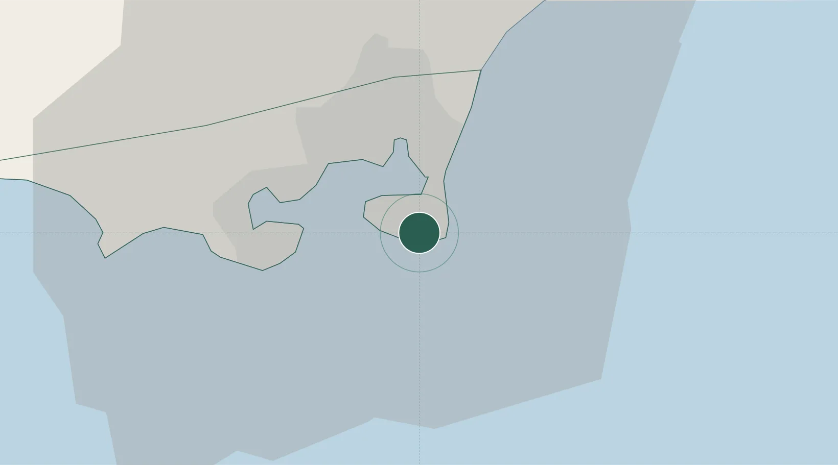
Location
Nearby Logistics Neighbours
Cities
- 1Aden5 km
- 2Little Aden19 km
- 3Doraleh Container Terminal138 km
- 4Perim Island176 km
- 5Djibouti245 km
Airports
- 1Aden International Airport7 km
- 2Al Anad Air Base54 km
- 3Taiz International Airport141 km
- 4Mokha International Airport204 km
- 5Djibouti-Ambouli Airport245 km
Trade Zones
DatabookThe Record of Consolidated Knowledge
Yemen beyond logistics?