UN/LOCODE hub · Yemen
YEADE
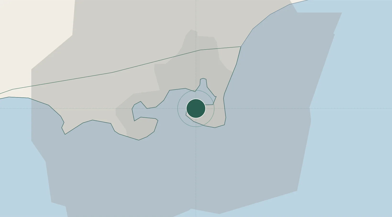
Aden
12.7960°, 44.9998°
1,079,670
Population
3
Transport functions
2
Container terminals
Transport Functions
Port
Airport
Postal
Hub Profile
Place type
Regional capital
Region
Aden
Population
1,079,670
Time zone
Asia/Aden
Elevation
7 m
Logistics facilities
4
Container terminals
2
Location
Nearby Logistics Neighbours
Cities
- 1'Adan5 km
- 2Little Aden16 km
- 3Doraleh Container Terminal140 km
- 4Perim Island173 km
- 5Djibouti244 km
Airports
- 1Aden International Airport5 km
- 2Al Anad Air Base49 km
- 3Taiz International Airport136 km
- 4Mokha International Airport199 km
- 5Djibouti-Ambouli Airport244 km
Trade Zones
DatabookThe Record of Consolidated Knowledge
Yemen beyond logistics?