UN/LOCODE hub · Yemen
YELAD

Little Aden

12.7333°, 44.8667°
2
Transport functions

Transport Functions

Port
Road
UN/LOCODE

Hub Profile

Region
AD
GeoNames

Location

Location of YELAD
Natural Earth 10m (public domain) · AD · YELAD · 12.73, 44.87GoogleOSMYandex

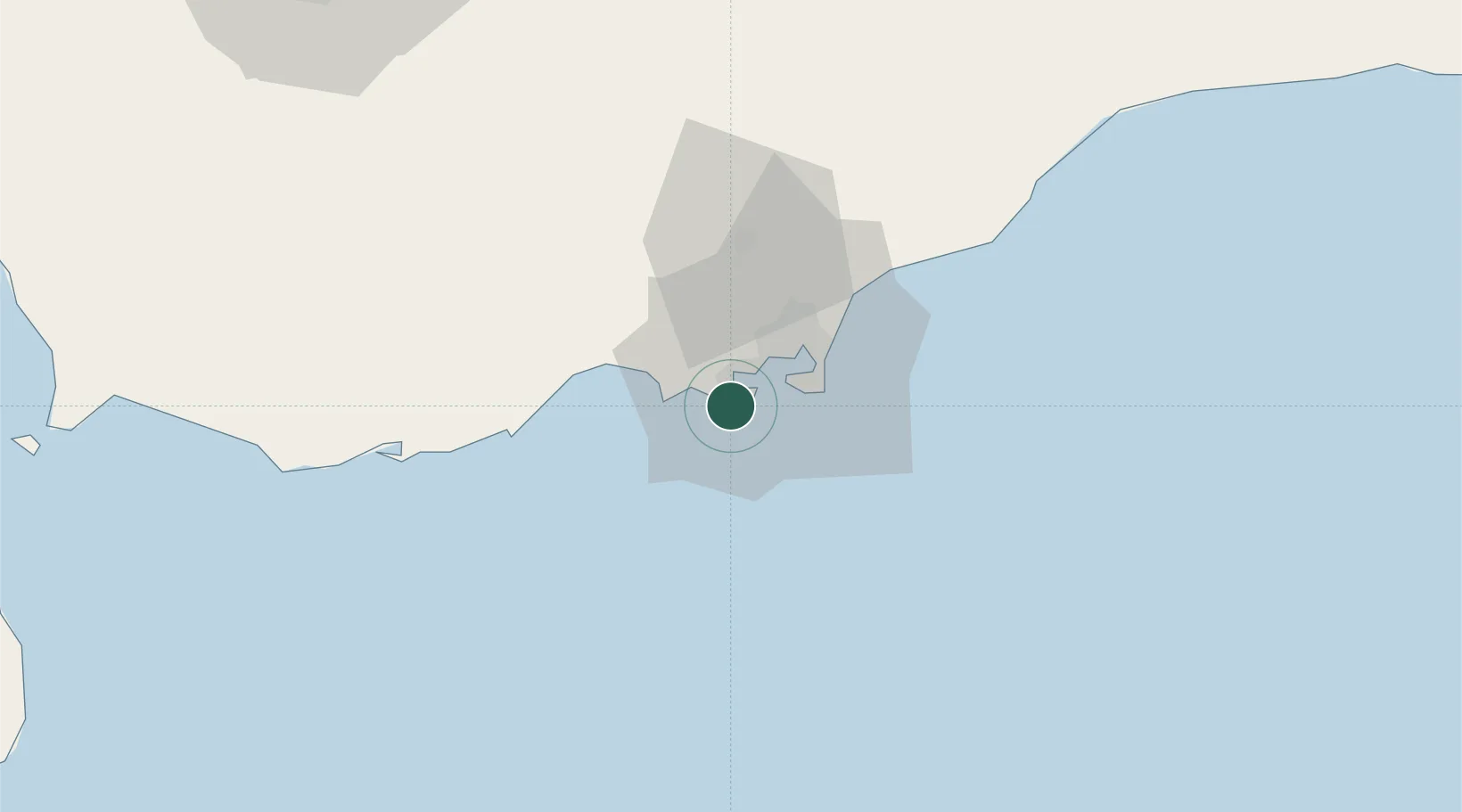
Nearby Logistics Neighbours

Cities
  1. 1Aden16 km
  2. 2'Adan19 km
  3. 3Doraleh Container Terminal129 km
  4. 4Perim Island158 km
  5. 5Djibouti228 km
Nearest neighbours — logibook spatial index (haversine) over the source coordinates
Ports
  1. 1Aden11 km
  2. 2Al Mukha187 km
  3. 3Djibouti227 km
  4. 4Doraleh231 km
  5. 5Assab231 km
Nearest neighbours — logibook spatial index (haversine) over the source coordinates
Airports
  1. 1Aden International Airport21 km
  2. 2Al Anad Air Base50 km
  3. 3Taiz International Airport132 km
  4. 4Mokha International Airport188 km
  5. 5Djibouti-Ambouli Airport228 km
Nearest neighbours — logibook spatial index (haversine) over the source coordinates
Trade Zones
  1. 1Aden Free Zone17 km
  2. 2Damerjog Industrial Development Free Zone226 km
  3. 3Djibouti Free Zone228 km
  4. 4Touchroad Djibouti Special Economic Zone229 km
  5. 5Assab Free Trade Zone233 km
Nearest neighbours — logibook spatial index (haversine) over the source coordinates
DatabookThe Record of Consolidated Knowledge
Yemen beyond logistics?
Browse databook

All Sources

LocationsUN/LOCODE
UN/LOCODE — free
Portsthe NGA World Port Index
Public domain (US gov)
AirportsOurAirports
Public domain
Trade Zonesthe World Bank SEZ database
CC BY 4.0
Trade ZonesOpen Zone Map
CC BY
← Yemen locations