Large airport · Yemen

Aden International AirportOYAA
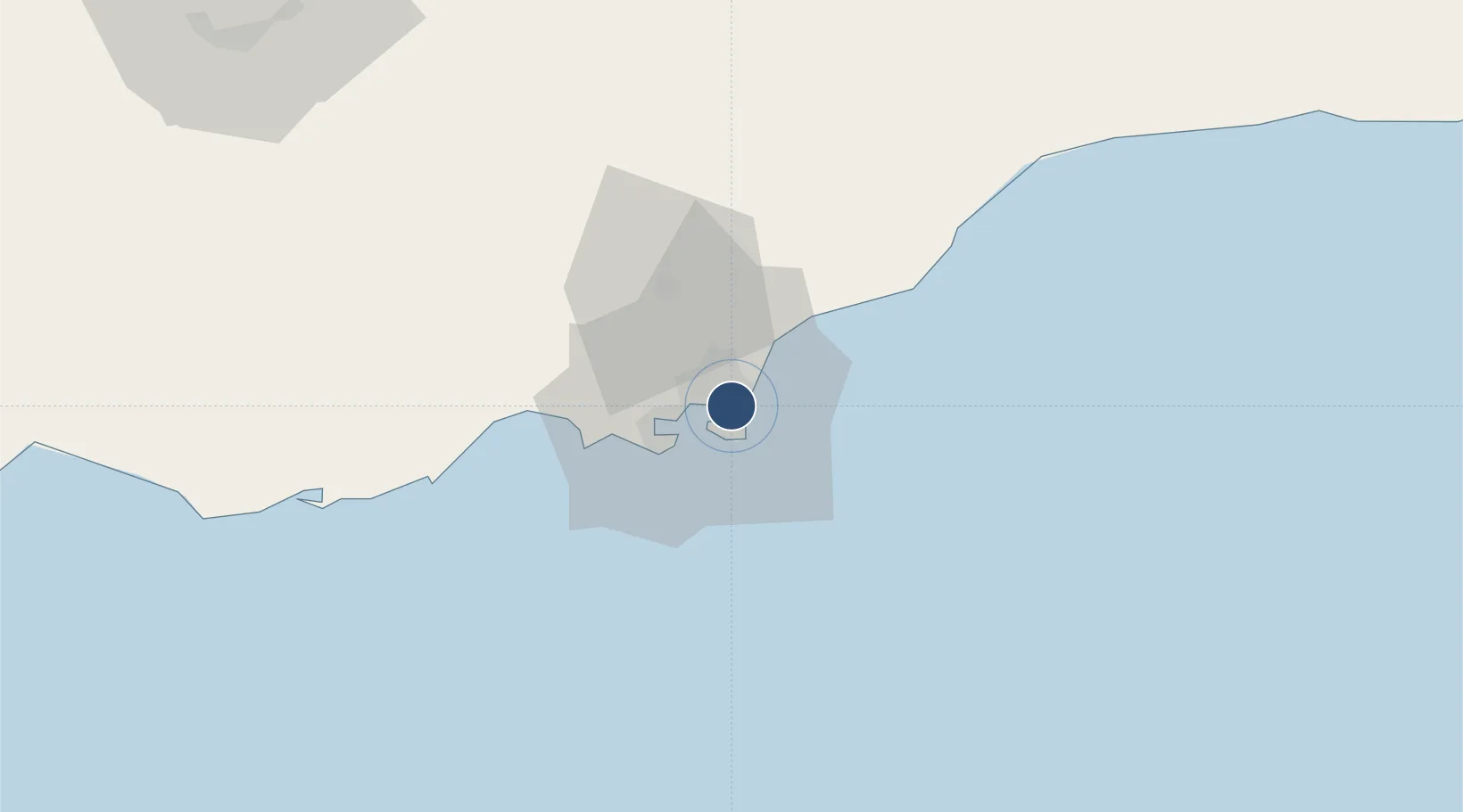
12.8296°, 45.0300°
10,171 ft
Longest runway
1
Runways
7 ft
Elevation

Runway & Layout

Aden International Airport runway & taxiway layout
Runway & taxiway layout — OpenStreetMap (ODbL) / OurAirports

Radio Frequencies

ATIS
122.6 MHz
TWR
118.7 MHz
GND
121.9 MHz
APP
119.7 MHz
RDO
565.8 MHz
RDO
891.8 MHz
OurAirports

Navaids

AD NDB Aden 361 kHz
KRA VOR-DME Aden 112.50 MHz
OurAirports

Runways · 1

RunwayDimensions SurfaceTrue headingLit
08/26 10,171 × 148ft Asphalt 077°
OurAirports

Airport Specifications

IATA code
ADE
OurAirports
ICAO code
OYAA
OurAirports
Airport class
Large airport
OurAirports
Scheduled service
Yes
OurAirports
Runway surface
Asphalt
OurAirports
Served city
Aden
OurAirports

Location

Location of OYAA
Natural Earth 10m (public domain) · `Adan · OYAA · 12.83, 45.03GoogleOSMYandex

Nearby Logistics Neighbours

Airports
  1. 1Al Anad Air Base48 km
  2. 2Taiz International Airport136 km
  3. 3Mokha International Airport202 km
  4. 4Djibouti-Ambouli Airport248 km
  5. 5Assab International Airport260 km
Nearest neighbours — logibook spatial index (haversine) over the source coordinates
Cities
  1. 1Aden5 km
  2. 2'Adan7 km
  3. 3Little Aden21 km
  4. 4Doraleh Container Terminal145 km
  5. 5Perim Island176 km
Nearest neighbours — logibook spatial index (haversine) over the source coordinates
Ports
  1. 1Aden10 km
  2. 2Al Mukha200 km
  3. 3Djibouti247 km
  4. 4Assab248 km
  5. 5Doraleh251 km
Nearest neighbours — logibook spatial index (haversine) over the source coordinates
Trade Zones
  1. 1Aden Free Zone5 km
  2. 2Damerjog Industrial Development Free Zone246 km
  3. 3Djibouti Free Zone249 km
  4. 4Assab Free Trade Zone250 km
  5. 5Touchroad Djibouti Special Economic Zone250 km
Nearest neighbours — logibook spatial index (haversine) over the source coordinates
DatabookThe Record of Consolidated Knowledge
Yemen beyond logistics?
Browse databook

All Sources

AirportsOurAirports
Public domain
Portsthe NGA World Port Index
Public domain (US gov)
LocationsUN/LOCODE
UN/LOCODE — free
Trade Zonesthe World Bank SEZ database
CC BY 4.0
Trade ZonesOpen Zone Map
CC BY
InfrastructureOpenStreetMap
ODbL 1.0
← Yemen airports