Free Trade Zone · Somalia

Berbera Economic Free Zone Active
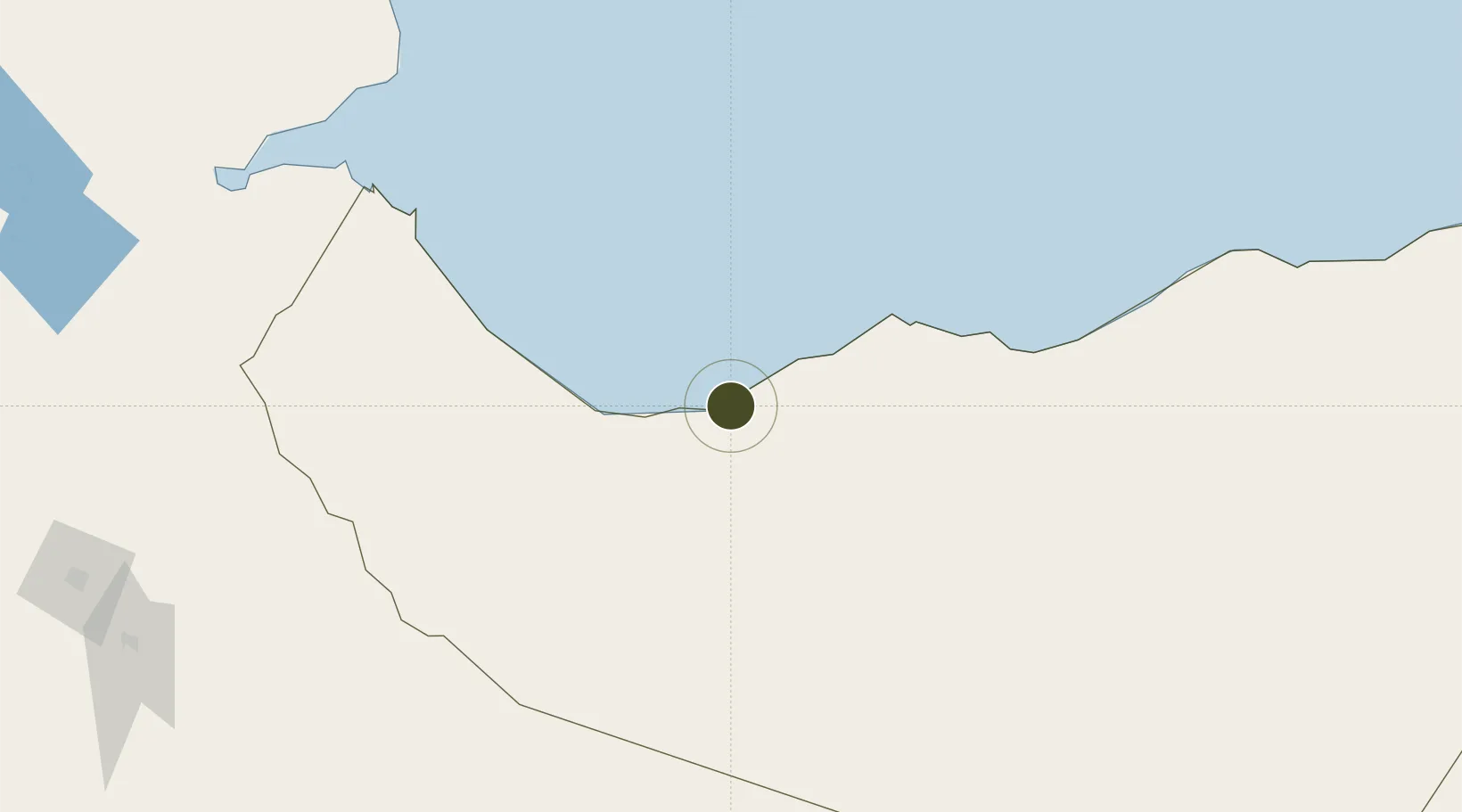
10.4377°, 44.9977°
4,800 ha
Zone area
2.5 km
Nearest port
8.9 km
Nearest airport

Gateway access

Nearest neighbours — logibook spatial index (haversine) over the source coordinates

Zone profile

Zone type
Free Trade Zone
Open Zone Map
Region
Somaliland
Open Zone Map
Status
Active
Open Zone Map
Management
Private
Open Zone Map
Operator
DP World
Open Zone Map
Legal framework
Draft Special Economic Free Zone Act
Open Zone Map

Location

Location of ozm-4143
Natural Earth 10m (public domain) · Somaliland · ozm-4143 · 10.44, 45.00GoogleOSMYandex

Nearby Logistics Neighbours

Ports
  1. 1Berbera3 km
  2. 2Djibouti241 km
  3. 3Doraleh245 km
  4. 4Aden261 km
  5. 5Al Mukha372 km
Nearest neighbours — logibook spatial index (haversine) over the source coordinates
Airports
  1. 1Berbera Airport9 km
  2. 2Egal International Airport143 km
  3. 3Djibouti-Ambouli Airport236 km
  4. 4Gerad Wilwal International Airport260 km
  5. 5Aden International Airport266 km
Nearest neighbours — logibook spatial index (haversine) over the source coordinates
Cities
  1. 1Berbera0 km
  2. 2Doraleh Container Terminal136 km
  3. 3Damerjog230 km
  4. 4Camp Lemonier237 km
  5. 5Djibouti240 km
Nearest neighbours — logibook spatial index (haversine) over the source coordinates
Trade Zones
  1. 1Damerjog Industrial Development Free Zone225 km
  2. 2Djibouti Free Zone240 km
  3. 3Touchroad Djibouti Special Economic Zone241 km
  4. 4UKAB Holdings Free Zone247 km
  5. 5Aden Free Zone266 km
Nearest neighbours — logibook spatial index (haversine) over the source coordinates
DatabookThe Record of Consolidated Knowledge
Somalia beyond logistics?
Browse databook

All Sources

Trade ZonesOpen Zone Map
CC BY
Portsthe NGA World Port Index
Public domain (US gov)
AirportsOurAirports
Public domain
LocationsUN/LOCODE
UN/LOCODE — free
← Somalia trade zones