UN/LOCODE hub · Somalia
SOBBO
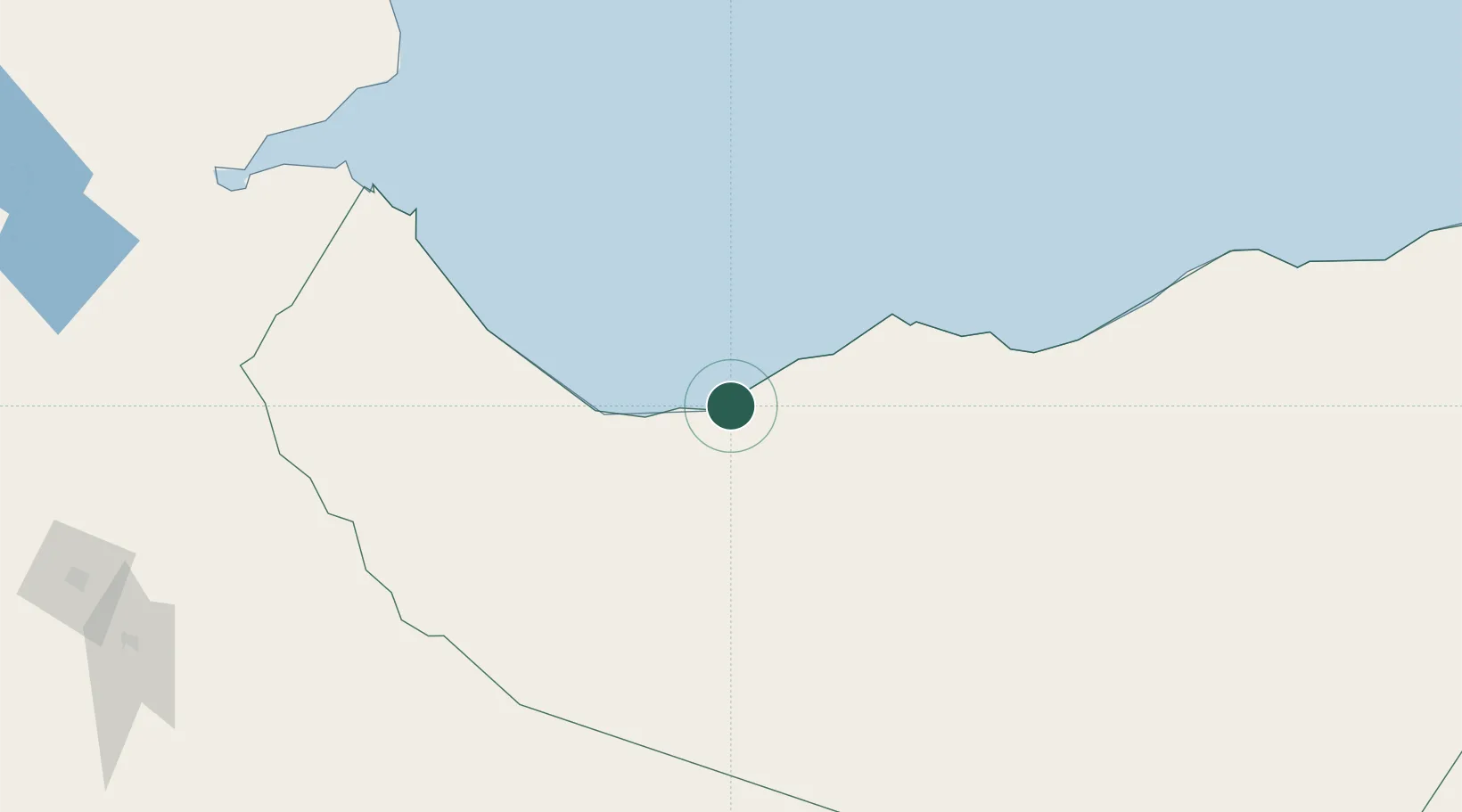
Berbera
10.4376°, 44.9967°
242,344
Population
2
Transport functions
1
Container terminals
Transport Functions
Port
Airport
Hub Profile
Place type
Populated place
Region
Woqooyi Galbeed
Population
242,344
Time zone
Africa/Mogadishu
Elevation
11 m
Logistics facilities
2
Container terminals
1
Location
Nearby Logistics Neighbours
Cities
- 1Doraleh Container Terminal136 km
- 2Damerjog230 km
- 3Camp Lemonier237 km
- 4Djibouti240 km
- 5Djibouti244 km
Airports
- 1Berbera Airport9 km
- 2Egal International Airport143 km
- 3Djibouti-Ambouli Airport236 km
- 4Gerad Wilwal International Airport259 km
- 5Aden International Airport266 km
Trade Zones
DatabookThe Record of Consolidated Knowledge
Somalia beyond logistics?