Seaport · Djibouti
DjiboutiDJJIB
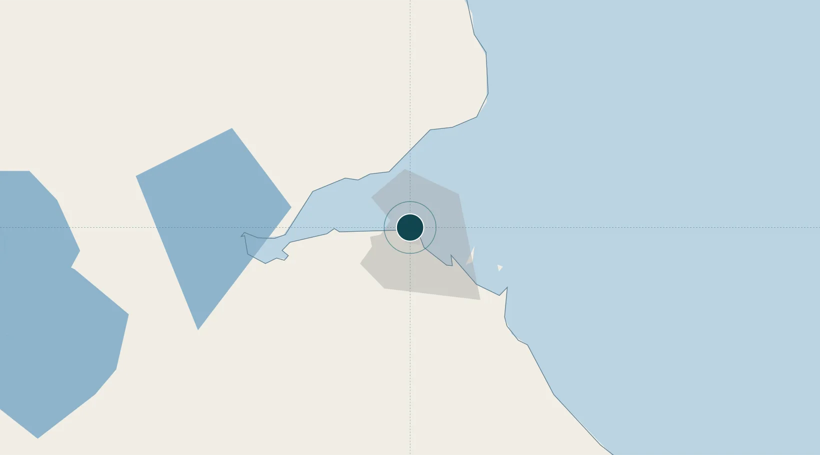
11.6000°, 43.1333°
17.1 m
Channel depth
2
Container terminals
193.7
Port liner connectivity
Channel & Berth Profile
Pilotage, Tugs & Services
Pilotage compulsoryYES
Pilotage availableYES
Pilotage advisableYES
Tug assistanceYES
Potable waterYES
Diesel bunkersYES
MedicalYES
Garbage disposalYES
Facilities & Capabilities
ContainerYES
Ro-Ro—
Liquid bulkYES
Dry bulkYES
Oil terminal—
Break bulkYES
Dry dockNO
RepairsNO
BunkeringYES
Rail linkYES
Dangerous cargo—
ISPS security—
Harbour Specifications
Harbour size
Small
Harbour type
Coastal (Natural)
Shelter
Good
Water body
Gulf of Aden; Indian Ocean
Tidal range
2.8 m
Overhead limit
No
Pilotage
Yes
Liner Connectivity
193.7
PLSCI
Port Liner Shipping Connectivity Index for Djibouti, as published by UNCTAD for the latest available quarter. Higher values indicate stronger scheduled liner-shipping integration.
Shown relative to the highest per-port PLSCI in the dataset (1,657.9).
Location
Container Terminals · 2
DORALEH CONTAINER TERMINAL SGTD
DCT SOCIETE DE GESTION DU TERMINAL A CONTENEUR DE DORALEH (SGTD)
DORALEH MULTI-PURPOSE PORT
DMP PORT DE DJIBOUTI S.A.
Nearby Logistics Neighbours
Cities
- 1Djibouti2 km
- 2Camp Lemonier7 km
- 3Damerjog14 km
- 4Perim Island121 km
- 5Doraleh Container Terminal160 km
Airports
- 1Djibouti-Ambouli Airport7 km
- 2Assab International Airport172 km
- 3Mokha International Airport189 km
- 4Semera Airport234 km
- 5Berbera Airport239 km
Trade Zones
DatabookThe Record of Consolidated Knowledge
Djibouti beyond logistics?