Seaport · Yemen

AdenYEADE

12.7833°, 44.9500°
14.7 m
Channel depth
2
Container terminals
69.3
Port liner connectivity
Aden is also a UN/LOCODE logistics hub →

Channel & Berth Profile

SEA LEVEL (CD)CHANNEL BEDAnchorage · 6.0 mChannel · 14.7 mOil terminal · 15.8 mCargo pier · 16.0 m
NGA World Port Index

Pilotage, Tugs & Services

Pilotage compulsoryYES
Pilotage availableYES
Pilotage advisableYES
Local assistanceYES
Tug assistanceYES
Shore powerYES
Potable waterYES
Diesel bunkersYES
MedicalYES
Garbage disposalYES
NGA World Port Index

Facilities & Capabilities

ContainerYES
Ro-RoYES
Liquid bulkYES
Dry bulkYES
Oil terminalYES
Break bulkYES
Dry dockNO
RepairsNO
BunkeringYES
Rail link
Dangerous cargo
ISPS security
NGA World Port Index

Harbour Specifications

Harbour size
Medium
NGA World Port Index
Harbour type
Coastal (Natural)
NGA World Port Index
Shelter
Good
NGA World Port Index
Water body
Gulf of Aden; Indian Ocean
NGA World Port Index
Tidal range
1.5 m
NGA World Port Index
Pilotage
Yes
NGA World Port Index

Liner Connectivity

69.3
PLSCI

Port Liner Shipping Connectivity Index for Aden, as published by UNCTAD for the latest available quarter. Higher values indicate stronger scheduled liner-shipping integration.

Shown relative to the highest per-port PLSCI in the dataset (1,657.9).
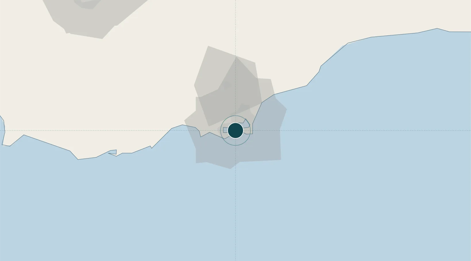
UNCTAD · Port Liner Shipping Connectivity Index

Location

Location of YEADE
Natural Earth 10m (public domain) · `Adan · YEADE · 12.78, 44.95GoogleOSMYandex

Container Terminals · 2

ADEN CONTAINER TERMINAL
ACT
MA'ALLA CONTAINER TERMINAL
MCT
SMDG Terminal Code List

Nearby Logistics Neighbours

Ports
  1. 1Al Mukha194 km
  2. 2Djibouti237 km
  3. 3Assab240 km
  4. 4Doraleh241 km
  5. 5Berbera260 km
Nearest neighbours — logibook spatial index (haversine) over the source coordinates
Cities
  1. 1'Adan9 km
  2. 2Little Aden11 km
  3. 3Doraleh Container Terminal137 km
  4. 4Perim Island167 km
  5. 5Djibouti238 km
Nearest neighbours — logibook spatial index (haversine) over the source coordinates
Airports
  1. 1Aden International Airport10 km
  2. 2Al Anad Air Base48 km
  3. 3Taiz International Airport133 km
  4. 4Mokha International Airport195 km
  5. 5Djibouti-Ambouli Airport238 km
Nearest neighbours — logibook spatial index (haversine) over the source coordinates
Trade Zones
  1. 1Aden Free Zone7 km
  2. 2Damerjog Industrial Development Free Zone236 km
  3. 3Djibouti Free Zone239 km
  4. 4Touchroad Djibouti Special Economic Zone240 km
  5. 5Assab Free Trade Zone242 km
Nearest neighbours — logibook spatial index (haversine) over the source coordinates
DatabookThe Record of Consolidated Knowledge
Yemen beyond logistics?
Browse databook

All Sources

Portsthe NGA World Port Index
Public domain (US gov)
Logistics performanceUNCTAD
CC BY 3.0 IGO
Portsthe SMDG Terminal Code List
UN/LOCODE — free, attribution
AirportsOurAirports
Public domain
LocationsUN/LOCODE
UN/LOCODE — free
Trade Zonesthe World Bank SEZ database
CC BY 4.0
Trade ZonesOpen Zone Map
CC BY
← Yemen ports