Medium airport · Yemen

Al Anad Air BaseOY74
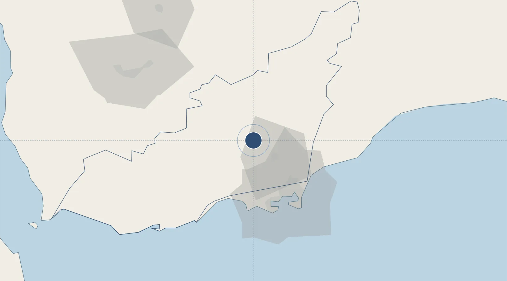
13.1747°, 44.7651°
9,250 ft
Longest runway
1
Runways
900 ft
Elevation

Runway & Layout

Al Anad Air Base runway & taxiway layout
Runway & taxiway layout — OpenStreetMap (ODbL) / OurAirports

Runways · 1

RunwayDimensions SurfaceTrue headingLit
07/25 9,250 × 144ft Asphalt 072°
OurAirports

Airport Specifications

Airport class
Medium airport
OurAirports
Scheduled service
No
OurAirports
Runway surface
Asphalt
OurAirports
Served city
Al Anad
OurAirports

Location

Location of OY74
Natural Earth 10m (public domain) · Lahij · OY74 · 13.17, 44.77GoogleOSMYandex

Nearby Logistics Neighbours

Airports
  1. 1Aden International Airport48 km
  2. 2Taiz International Airport88 km
  3. 3Mokha International Airport167 km
  4. 4Assab International Airport230 km
  5. 5Djibouti-Ambouli Airport251 km
Nearest neighbours — logibook spatial index (haversine) over the source coordinates
Cities
  1. 1Aden49 km
  2. 2Little Aden50 km
  3. 3'Adan54 km
  4. 4Perim Island157 km
  5. 5Doraleh Container Terminal176 km
Nearest neighbours — logibook spatial index (haversine) over the source coordinates
Ports
  1. 1Aden48 km
  2. 2Al Mukha165 km
  3. 3Assab219 km
  4. 4Djibouti249 km
  5. 5Doraleh252 km
Nearest neighbours — logibook spatial index (haversine) over the source coordinates
Trade Zones
  1. 1Aden Free Zone45 km
  2. 2Assab Free Trade Zone221 km
  3. 3Djibouti Free Zone251 km
  4. 4Damerjog Industrial Development Free Zone251 km
  5. 5Touchroad Djibouti Special Economic Zone252 km
Nearest neighbours — logibook spatial index (haversine) over the source coordinates
DatabookThe Record of Consolidated Knowledge
Yemen beyond logistics?
Browse databook

All Sources

AirportsOurAirports
Public domain
Portsthe NGA World Port Index
Public domain (US gov)
LocationsUN/LOCODE
UN/LOCODE — free
Trade Zonesthe World Bank SEZ database
CC BY 4.0
Trade ZonesOpen Zone Map
CC BY
InfrastructureOpenStreetMap
ODbL 1.0
← Yemen airports