Free Zone · Djibouti

Djibouti Free Zone Active
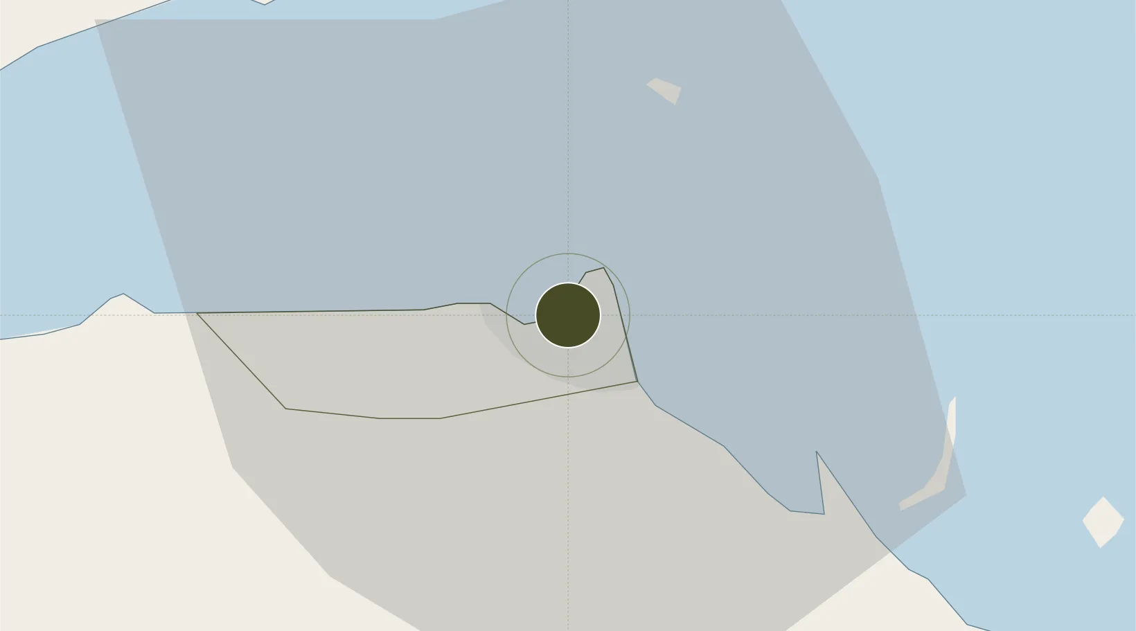
11.5827°, 43.1300°
403 ha
Zone area
2.0 km
Nearest port
5.1 km
Nearest airport

Gateway access

Nearest neighbours — logibook spatial index (haversine) over the source coordinates

Zone profile

Zone type
Free Zone
the World Bank SEZ database
Region
Djibouti
the World Bank SEZ database
Status
Active
the World Bank SEZ database
Established
2004
the World Bank SEZ database
Management
PPP
the World Bank SEZ database
Operator
Jebel Ali Free Zone International (JAFZI) / Djibouti Ports & Free Zone Authority
the World Bank SEZ database
Regulatory authority
Djibouti Ports and Free Zone Authority
the World Bank SEZ database
Legal framework
Free Zone Code
the World Bank SEZ database

Location

Location of DJI1
Natural Earth 10m (public domain) · Djibouti · DJI1 · 11.58, 43.13GoogleOSMYandex

Fiscal & incentives

Corporate tax
25%
the World Bank SEZ database
Tax relief
100% exempt
the World Bank SEZ database
Relief duration
Perpetual
the World Bank SEZ database
VAT
No exemption
the World Bank SEZ database
Import duty (inputs)
100% exempt
the World Bank SEZ database
Import duty (capex)
100% exempt
the World Bank SEZ database
Profit repatriation
100% exempt from repatriation tax on profits and capital
the World Bank SEZ database
Capital gains
No exemption
the World Bank SEZ database
Withholding tax
100% exempt from income tax
the World Bank SEZ database
Min. investment
None
the World Bank SEZ database
Min. export
0%
the World Bank SEZ database
Employment incentive
No exemption
the World Bank SEZ database
Developer incentive
Yes
the World Bank SEZ database

Nearby Logistics Neighbours

Ports
  1. 1Djibouti2 km
  2. 2Doraleh5 km
  3. 3Assab163 km
  4. 4Al Mukha193 km
  5. 5Aden239 km
Nearest neighbours — logibook spatial index (haversine) over the source coordinates
Airports
  1. 1Djibouti-Ambouli Airport5 km
  2. 2Assab International Airport174 km
  3. 3Mokha International Airport191 km
  4. 4Semera Airport234 km
  5. 5Berbera Airport238 km
Nearest neighbours — logibook spatial index (haversine) over the source coordinates
Cities
  1. 1Djibouti0 km
  2. 2Djibouti4 km
  3. 3Camp Lemonier6 km
  4. 4Damerjog13 km
  5. 5Perim Island123 km
Nearest neighbours — logibook spatial index (haversine) over the source coordinates
Trade Zones
  1. 1Touchroad Djibouti Special Economic Zone1 km
  2. 2UKAB Holdings Free Zone7 km
  3. 3Damerjog Industrial Development Free Zone16 km
  4. 4Assab Free Trade Zone163 km
  5. 5Berbera Economic Free Zone240 km
Nearest neighbours — logibook spatial index (haversine) over the source coordinates
DatabookThe Record of Consolidated Knowledge
Djibouti beyond logistics?
Browse databook

All Sources

Trade Zonesthe World Bank SEZ database
CC BY 4.0
Portsthe NGA World Port Index
Public domain (US gov)
AirportsOurAirports
Public domain
LocationsUN/LOCODE
UN/LOCODE — free
← Djibouti trade zones