Free Trade Zone · Djibouti
Damerjog Industrial Development Free Zone Active
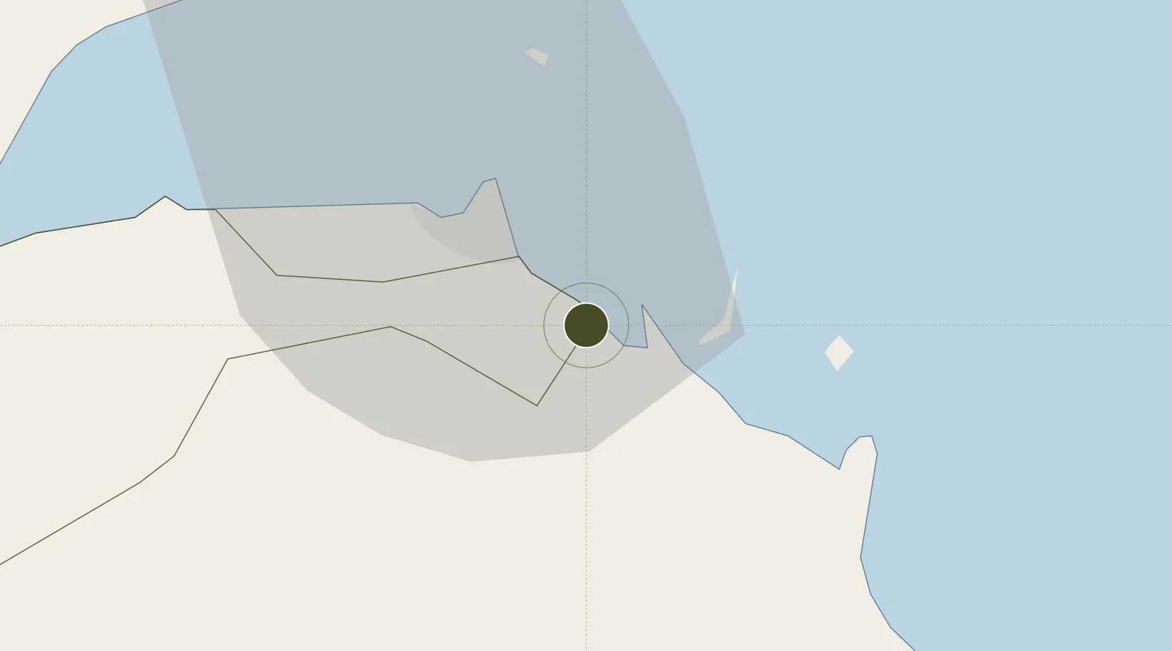
11.4802°, 43.2332°
3,000 ha
Zone area
17.2 km
Nearest port
11.0 km
Nearest airport
Gateway access
Zone profile
Zone type
Free Trade Zone
Region
Arta
Status
Active
Management
Public-Private Partnership
Operator
Great Horn Investment Holding, Djibouti Ports and Free Zones Authority
Legal framework
Law No. 53/AN/04 of 17 May 2004 on Free Zones
Location
Nearby Logistics Neighbours
Airports
- 1Djibouti-Ambouli Airport11 km
- 2Assab International Airport188 km
- 3Mokha International Airport202 km
- 4Berbera Airport222 km
- 5Egal International Airport238 km
Cities
- 1Damerjog5 km
- 2Camp Lemonier12 km
- 3Djibouti16 km
- 4Djibouti20 km
- 5Perim Island132 km
Trade Zones
- 1Djibouti Free Zone16 km
- 2Touchroad Djibouti Special Economic Zone17 km
- 3UKAB Holdings Free Zone22 km
- 4Assab Free Trade Zone177 km
- 5Berbera Economic Free Zone225 km
DatabookThe Record of Consolidated Knowledge
Djibouti beyond logistics?