Transport Functions
Port
Road
Hub Profile
Region
AR
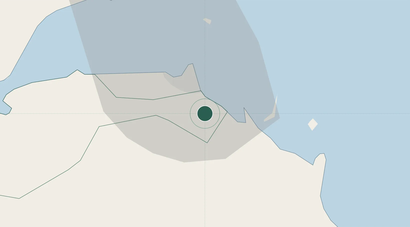
Location
Nearby Logistics Neighbours
Cities
- 1Camp Lemonier8 km
- 2Djibouti12 km
- 3Djibouti16 km
- 4Perim Island132 km
- 5Doraleh Container Terminal155 km
Airports
- 1Djibouti-Ambouli Airport8 km
- 2Assab International Airport186 km
- 3Mokha International Airport202 km
- 4Berbera Airport227 km
- 5Egal International Airport240 km
Trade Zones
DatabookThe Record of Consolidated Knowledge
Djibouti beyond logistics?