Medium airport · Somalia
Berbera AirportHCMI
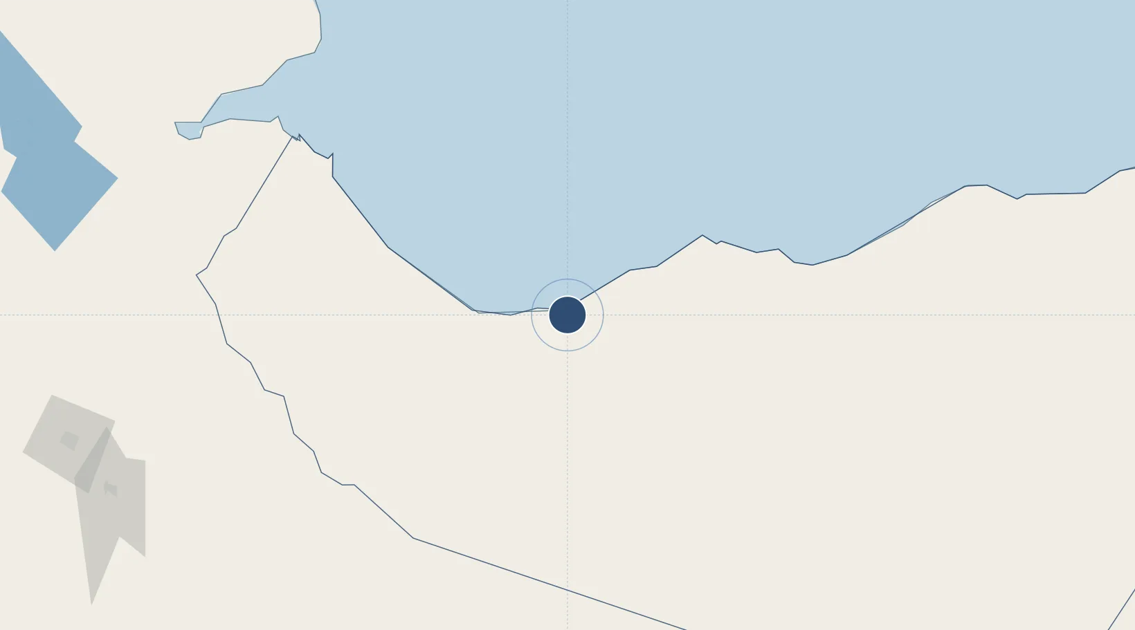
10.3850°, 44.9367°
13,582 ft
Longest runway
1
Runways
30 ft
Elevation
Runway & Layout

Radio Frequencies
AFIS
123.9 MHz
Runways · 1
| Runway | Dimensions | Surface | True heading | Lit |
|---|---|---|---|---|
| 05/23 | 13,582 × 164ft | Asphalt | 047° | — |
Airport Specifications
IATA code
BBO
ICAO code
HCMI
Airport class
Medium airport
Scheduled service
Yes
Runway surface
Asphalt
Served city
Berbera
Location
Nearby Logistics Neighbours
Airports
- 1Egal International Airport135 km
- 2Djibouti-Ambouli Airport233 km
- 3Gerad Wilwal International Airport251 km
- 4Aden International Airport272 km
- 5Al Anad Air Base311 km
Cities
- 1Berbera9 km
- 2Doraleh Container Terminal140 km
- 3Damerjog227 km
- 4Camp Lemonier235 km
- 5Djibouti238 km
Trade Zones
DatabookThe Record of Consolidated Knowledge
Somalia beyond logistics?