Seaport · Somalia
BerberaSOBBO
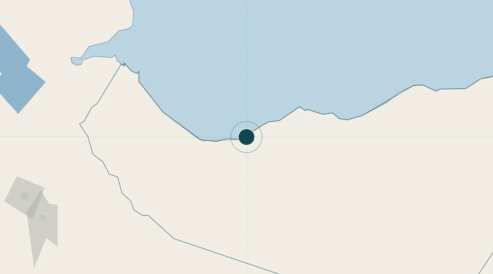
10.4500°, 45.0167°
11.0 m
Channel depth
1
Container terminals
41.3
Port liner connectivity
Channel & Berth Profile
Pilotage, Tugs & Services
Pilotage compulsoryYES
Pilotage availableYES
Shore powerYES
Potable waterYES
Diesel bunkersNO
MedicalYES
Facilities & Capabilities
Container—
Ro-Ro—
Liquid bulk—
Dry bulk—
Oil terminal—
Break bulk—
Dry dock—
RepairsNO
BunkeringNO
Rail link—
Dangerous cargo—
ISPS security—
Harbour Specifications
Harbour size
Small
Harbour type
Coastal (Breakwater)
Shelter
Fair
Water body
Gulf of Aden; Indian Ocean
Tidal range
2 m
Pilotage
Yes
Liner Connectivity
41.3
PLSCI
Port Liner Shipping Connectivity Index for Berbera, as published by UNCTAD for the latest available quarter. Higher values indicate stronger scheduled liner-shipping integration.
Shown relative to the highest per-port PLSCI in the dataset (1,657.9).
Location
Container Terminals · 1
DP WORLD BERBERA
DPW DP WORLD
Nearby Logistics Neighbours
Cities
- 1Doraleh Container Terminal136 km
- 2Damerjog231 km
- 3Camp Lemonier238 km
- 4Djibouti241 km
- 5Djibouti245 km
Airports
- 1Berbera Airport11 km
- 2Egal International Airport146 km
- 3Djibouti-Ambouli Airport237 km
- 4Gerad Wilwal International Airport262 km
- 5Aden International Airport265 km
Trade Zones
DatabookThe Record of Consolidated Knowledge
Somalia beyond logistics?