Large airport · Djibouti

Djibouti-Ambouli AirportHDAM
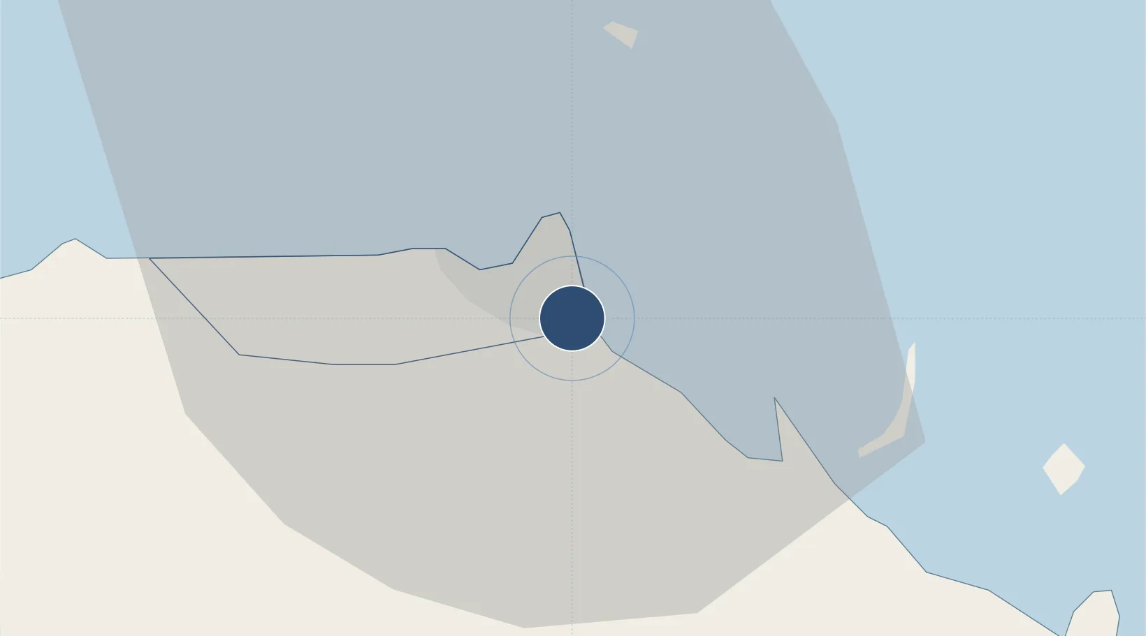
11.5473°, 43.1595°
10,335 ft
Longest runway
1
Runways
49 ft
Elevation

Runway & Layout

Djibouti-Ambouli Airport runway & taxiway layout
Runway & taxiway layout — OpenStreetMap (ODbL) / OurAirports

Radio Frequencies

ATIS
126.4 MHz
TWR
122.1 MHz
GND
118.1 MHz
A/G
759.5 MHz
A/G VOICE RDO
APP/DEP
121.1 MHz
UC
128.1 MHz
OurAirports

Navaids

ABI TACAN Djibouti/Ambouli 114.60 MHz
DJ NDB Djibouti/Ambouli 386 kHz
DTI VOR-DME Djibouti/Ambouli 113.90 MHz
OurAirports

Runways · 1

RunwayDimensions SurfaceTrue headingLit
09/27 10,335 × 148ft Asphalt / concrete 091°
OurAirports

Airport Specifications

IATA code
JIB
OurAirports
ICAO code
HDAM
OurAirports
Airport class
Large airport
OurAirports
Scheduled service
Yes
OurAirports
Runway surface
Asphalt / concrete
OurAirports
Served city
Djibouti City
OurAirports

Location

Location of HDAM
Natural Earth 10m (public domain) · Djibouti · HDAM · 11.55, 43.16GoogleOSMYandex

Nearby Logistics Neighbours

Airports
  1. 1Assab International Airport179 km
  2. 2Mokha International Airport195 km
  3. 3Berbera Airport233 km
  4. 4Semera Airport238 km
  5. 5Egal International Airport248 km
Nearest neighbours — logibook spatial index (haversine) over the source coordinates
Cities
  1. 1Camp Lemonier3 km
  2. 2Djibouti5 km
  3. 3Damerjog8 km
  4. 4Djibouti9 km
  5. 5Perim Island126 km
Nearest neighbours — logibook spatial index (haversine) over the source coordinates
Ports
  1. 1Djibouti7 km
  2. 2Doraleh10 km
  3. 3Assab168 km
  4. 4Al Mukha197 km
  5. 5Berbera237 km
Nearest neighbours — logibook spatial index (haversine) over the source coordinates
Trade Zones
  1. 1Djibouti Free Zone5 km
  2. 2Touchroad Djibouti Special Economic Zone6 km
  3. 3Damerjog Industrial Development Free Zone11 km
  4. 4UKAB Holdings Free Zone11 km
  5. 5Assab Free Trade Zone167 km
Nearest neighbours — logibook spatial index (haversine) over the source coordinates
DatabookThe Record of Consolidated Knowledge
Djibouti beyond logistics?
Browse databook

All Sources

AirportsOurAirports
Public domain
Portsthe NGA World Port Index
Public domain (US gov)
LocationsUN/LOCODE
UN/LOCODE — free
Trade Zonesthe World Bank SEZ database
CC BY 4.0
Trade ZonesOpen Zone Map
CC BY
InfrastructureOpenStreetMap
ODbL 1.0
← Djibouti airports