UN/LOCODE hub · Germany
DERKE

Kerken

51.4500°, 6.3667°
1
Transport functions

Transport Functions

Multimodal
UN/LOCODE

Hub Profile

Region
NW
GeoNames

Location

Location of DERKE
Natural Earth 10m (public domain) · NW · DERKE · 51.45, 6.37GoogleOSMYandex

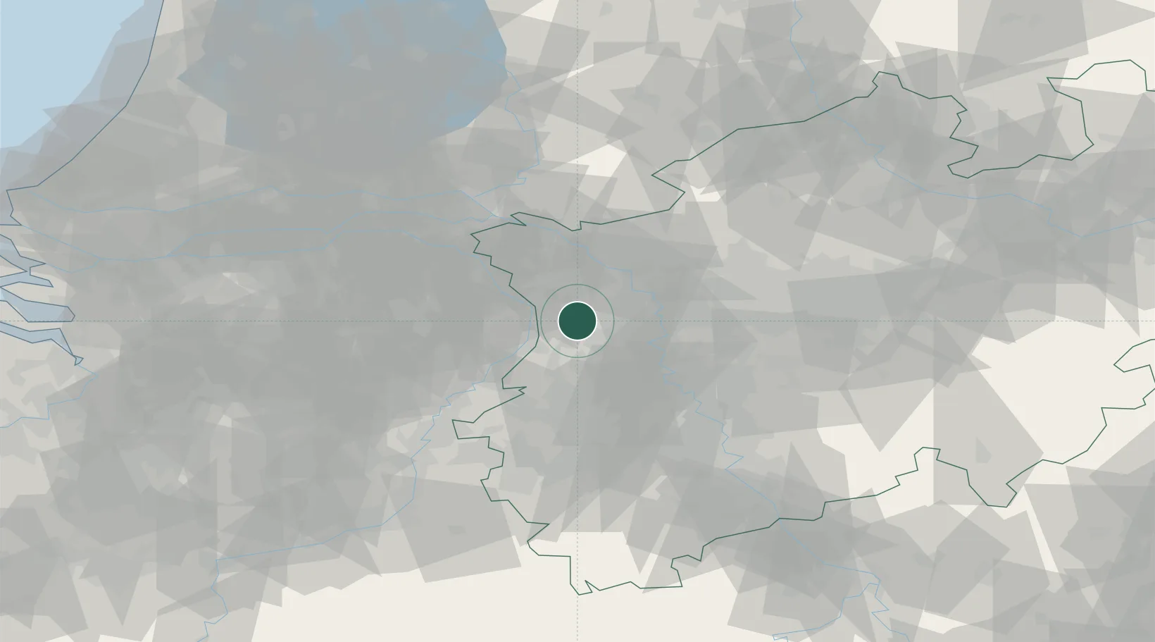
Nearby Logistics Neighbours

Cities
  1. 1Issum10 km
  2. 2Kempen10 km
  3. 3Arcen13 km
  4. 4Neukirchen-Vluyn14 km
  5. 5Broekhuizenvorst16 km
Nearest neighbours — logibook spatial index (haversine) over the source coordinates
Ports
  1. 1Dordrecht125 km
  2. 2Antwerpen139 km
  3. 3Rotterdam139 km
  4. 4Amsterdam143 km
  5. 5Schiedam145 km
Nearest neighbours — logibook spatial index (haversine) over the source coordinates
Airports
  1. 1Weeze (Niederrhein) Airport23 km
  2. 2Mönchengladbach Airport26 km
  3. 3Düsseldorf Airport33 km
  4. 4Volkel Air Base51 km
  5. 5Kempen Airport Budel57 km
Nearest neighbours — logibook spatial index (haversine) over the source coordinates
Trade Zones
  1. 1Freeport of Duisburg15 km
  2. 2Rheinische Revier SWZ60 km
  3. 3Luxembourg Free Port202 km
  4. 4Freeport of Emden217 km
  5. 5ZFU Ronde Couture222 km
Nearest neighbours — logibook spatial index (haversine) over the source coordinates
DatabookThe Record of Consolidated Knowledge
Germany beyond logistics?
Browse databook

All Sources

LocationsUN/LOCODE
UN/LOCODE — free
Portsthe NGA World Port Index
Public domain (US gov)
AirportsOurAirports
Public domain
Trade Zonesthe World Bank SEZ database
CC BY 4.0
Trade ZonesOpen Zone Map
CC BY
← Germany locations