Transport Functions
Port
Road
Hub Profile
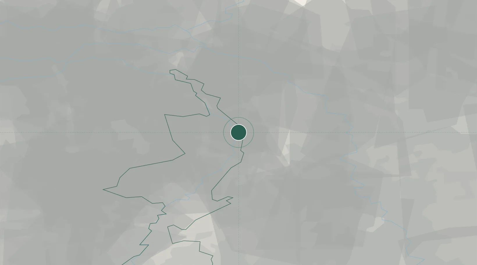
Place type
Populated place
Region
Limburg
Population
8,793
Time zone
Europe/Amsterdam
Elevation
18 m
Location
Nearby Logistics Neighbours
Cities
- 1Broekhuizenvorst2 km
- 2Melderslo7 km
- 3Wanssum9 km
- 4Well9 km
- 5Venlo11 km
Airports
- 1Weeze (Niederrhein) Airport13 km
- 2Mönchengladbach Airport36 km
- 3Volkel Air Base38 km
- 4Düsseldorf Airport46 km
- 5Kempen Airport Budel48 km
Trade Zones
- 1Freeport of Duisburg28 km
- 2Rheinische Revier SWZ65 km
- 3Luxembourg Free Port205 km
- 4Freeport of Emden217 km
- 5ZFU Ronde Couture219 km
DatabookThe Record of Consolidated Knowledge
Netherlands beyond logistics?