Economic Revitalization Project · France

ZFU Ronde Couture Active
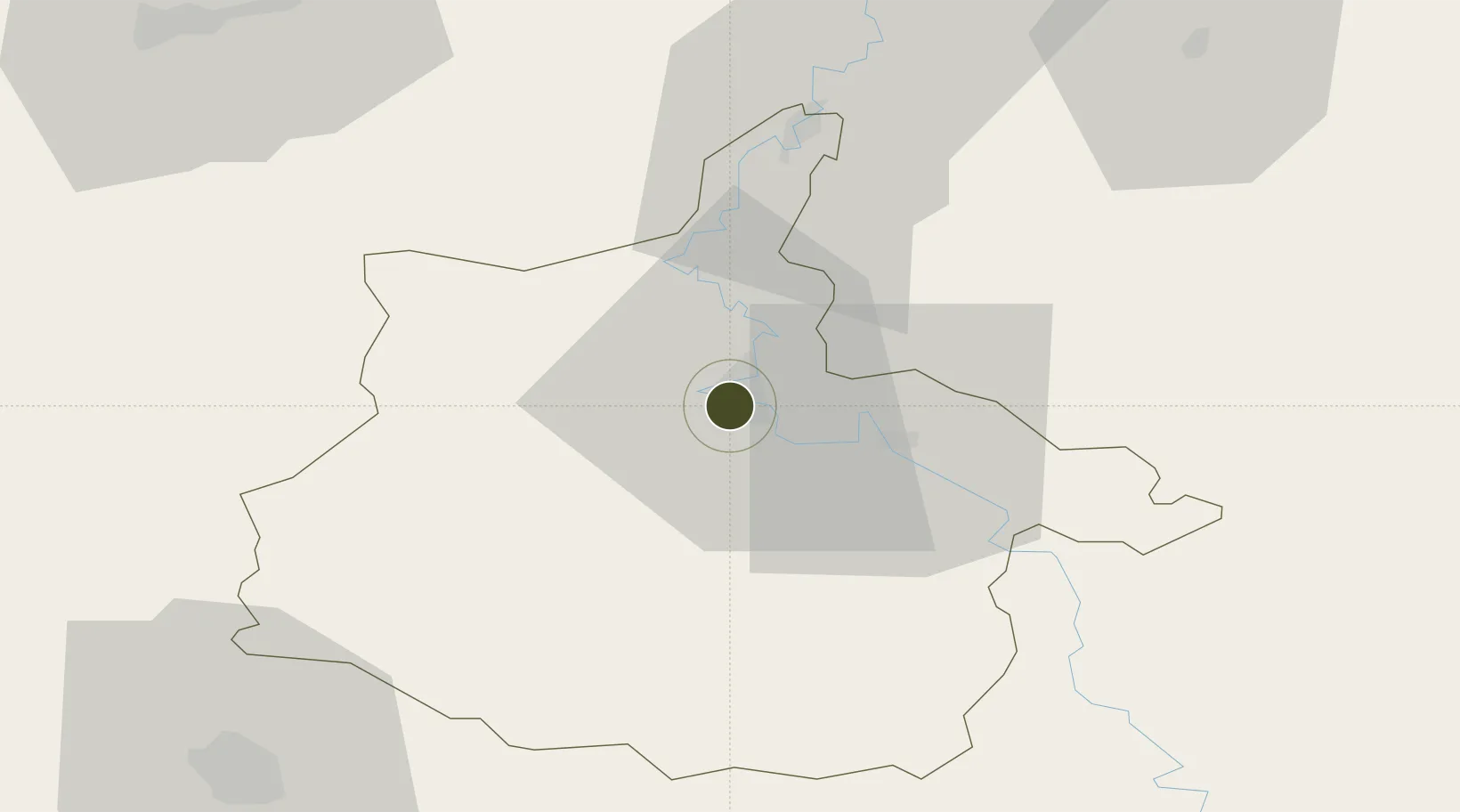
49.7471°, 4.7169°
121 ha
Zone area
127.2 km
Nearest port
6.5 km
Nearest airport

Gateway access

Nearest neighbours — logibook spatial index (haversine) over the source coordinates

Zone profile

Zone type
Economic Revitalization Project
Open Zone Map
Region
Ardennes
Open Zone Map
Status
Active
Open Zone Map
Management
Public
Open Zone Map
Operator
Charleville-Mézières
Open Zone Map
Legal framework
Décret no 65-939 du 8 novembre 1965, Décret du 9 Octobre 2008
Open Zone Map

Location

Location of ozm-1961
Natural Earth 10m (public domain) · Ardennes · ozm-1961 · 49.75, 4.72GoogleOSMYandex

Nearby Logistics Neighbours

Ports
  1. 1Bruxelles127 km
  2. 2Ghent162 km
  3. 3Antwerpen165 km
  4. 4Terneuzen189 km
  5. 5Hansweert196 km
Nearest neighbours — logibook spatial index (haversine) over the source coordinates
Airports
  1. 1Charleville-Mézières Ardennes-Etienne Riché Airfield7 km
  2. 2Florennes Air Base55 km
  3. 3Brussels South Charleroi Airport82 km
  4. 4Verdun-Le Rozelier Airfield88 km
  5. 5Lieutenant Étienne Mantoux Air Base90 km
Nearest neighbours — logibook spatial index (haversine) over the source coordinates
Cities
  1. 1Charleville-Mézières2 km
  2. 2Lumes5 km
  3. 3Nouzonville8 km
  4. 4Dom-le-Mesnil9 km
  5. 5Vrigne aux Bois10 km
Nearest neighbours — logibook spatial index (haversine) over the source coordinates
Trade Zones
  1. 1ZFU Reims76 km
  2. 2ZFU Maubeuge, Louvroil80 km
  3. 3ZFU Le Vermandois Vermand, Fayet, Artois, Champagne109 km
  4. 4Luxembourg Free Port109 km
  5. 5ZFU Presles, Chevreux110 km
Nearest neighbours — logibook spatial index (haversine) over the source coordinates
DatabookThe Record of Consolidated Knowledge
France beyond logistics?
Browse databook

All Sources

Trade ZonesOpen Zone Map
CC BY
Portsthe NGA World Port Index
Public domain (US gov)
AirportsOurAirports
Public domain
LocationsUN/LOCODE
UN/LOCODE — free
← France trade zones