Transport Functions
Port
Road
Hub Profile
Place type
Local administrative seat
Region
North Rhine-Westphalia
Population
12,249
Time zone
Europe/Berlin
Elevation
25 m
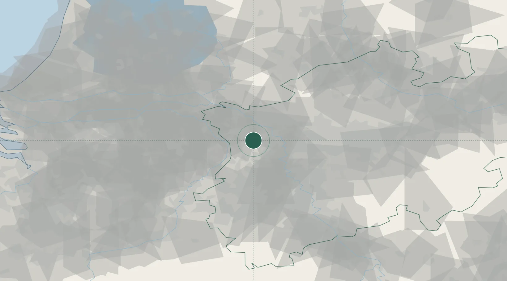
Location
Nearby Logistics Neighbours
Cities
- 1Alpen9 km
- 2Kerken10 km
- 3Ossenberg11 km
- 4Rheinberg12 km
- 5Neukirchen-Vluyn15 km
Airports
- 1Weeze (Niederrhein) Airport21 km
- 2Mönchengladbach Airport34 km
- 3Düsseldorf Airport36 km
- 4Volkel Air Base51 km
- 5Kempen Airport Budel65 km
Trade Zones
- 1Freeport of Duisburg15 km
- 2Rheinische Revier SWZ69 km
- 3Freeport of Emden207 km
- 4Luxembourg Free Port211 km
- 5ZFU Ronde Couture232 km
DatabookThe Record of Consolidated Knowledge
Germany beyond logistics?