Transport Functions
Rail
Road
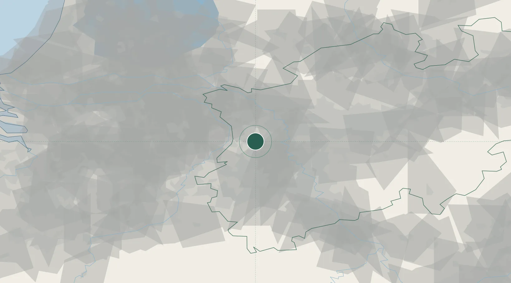
Hub Profile
Place type
Populated place
Region
North Rhine-Westphalia
Population
36,312
Time zone
Europe/Berlin
Elevation
41 m
Location
Nearby Logistics Neighbours
Cities
- 1Kerken10 km
- 2Grefrath10 km
- 3Krefeld-Uerdingen11 km
- 4Neukirchen-Vluyn13 km
- 5Dülken14 km
Airports
- 1Mönchengladbach Airport16 km
- 2Düsseldorf Airport26 km
- 3Weeze (Niederrhein) Airport32 km
- 4Geilenkirchen Air Base52 km
- 5Kempen Airport Budel58 km
Trade Zones
- 1Freeport of Duisburg15 km
- 2Rheinische Revier SWZ51 km
- 3Luxembourg Free Port193 km
- 4ZFU Ronde Couture216 km
- 5Freeport of Emden225 km
DatabookThe Record of Consolidated Knowledge
Germany beyond logistics?