UN/LOCODE hub · Germany
DENVL
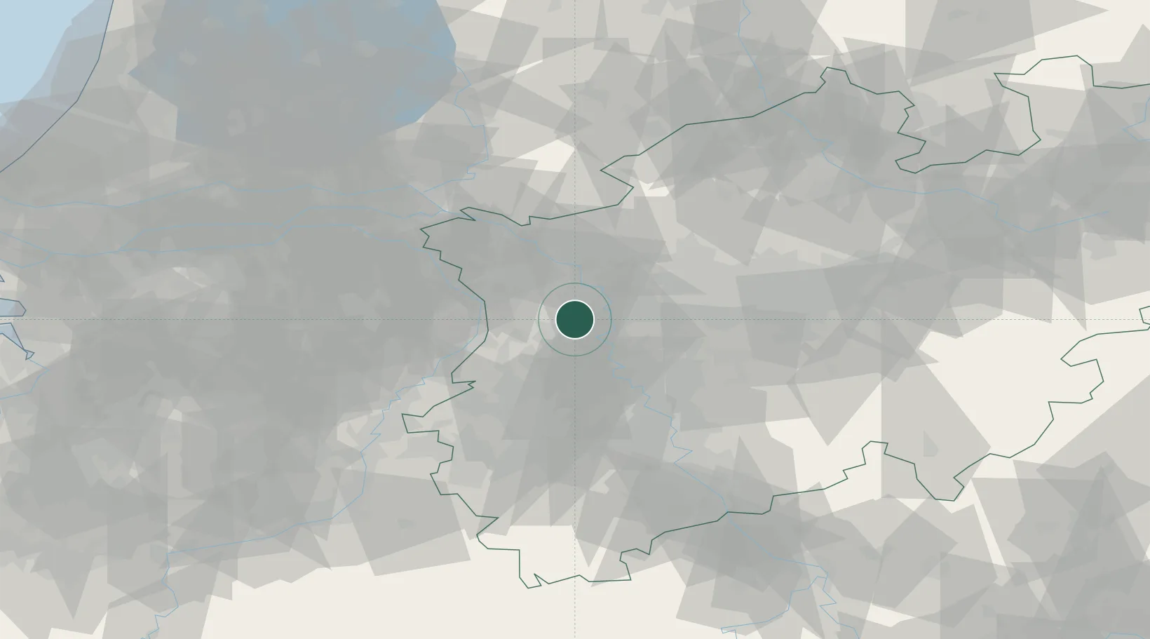
Neukirchen-Vluyn
51.4333°, 6.5667°
28,110
Population
2
Transport functions
Transport Functions
Rail
Road
Hub Profile
Place type
Populated place
Region
North Rhine-Westphalia
Population
28,110
Time zone
Europe/Berlin
Elevation
33 m
Location
Nearby Logistics Neighbours
Cities
- 1Vinn5 km
- 2Moers6 km
- 3Homberg8 km
- 4Krefeld-Uerdingen11 km
- 5Krefeld12 km
Airports
- 1Düsseldorf Airport21 km
- 2Mönchengladbach Airport23 km
- 3Weeze (Niederrhein) Airport35 km
- 4Geilenkirchen Air Base64 km
- 5Volkel Air Base64 km
Trade Zones
- 1Freeport of Duisburg2 km
- 2Rheinische Revier SWZ60 km
- 3Luxembourg Free Port201 km
- 4Freeport of Emden216 km
- 5ZFU Ronde Couture229 km
DatabookThe Record of Consolidated Knowledge
Germany beyond logistics?