UN/LOCODE hub · Netherlands
NLBRH
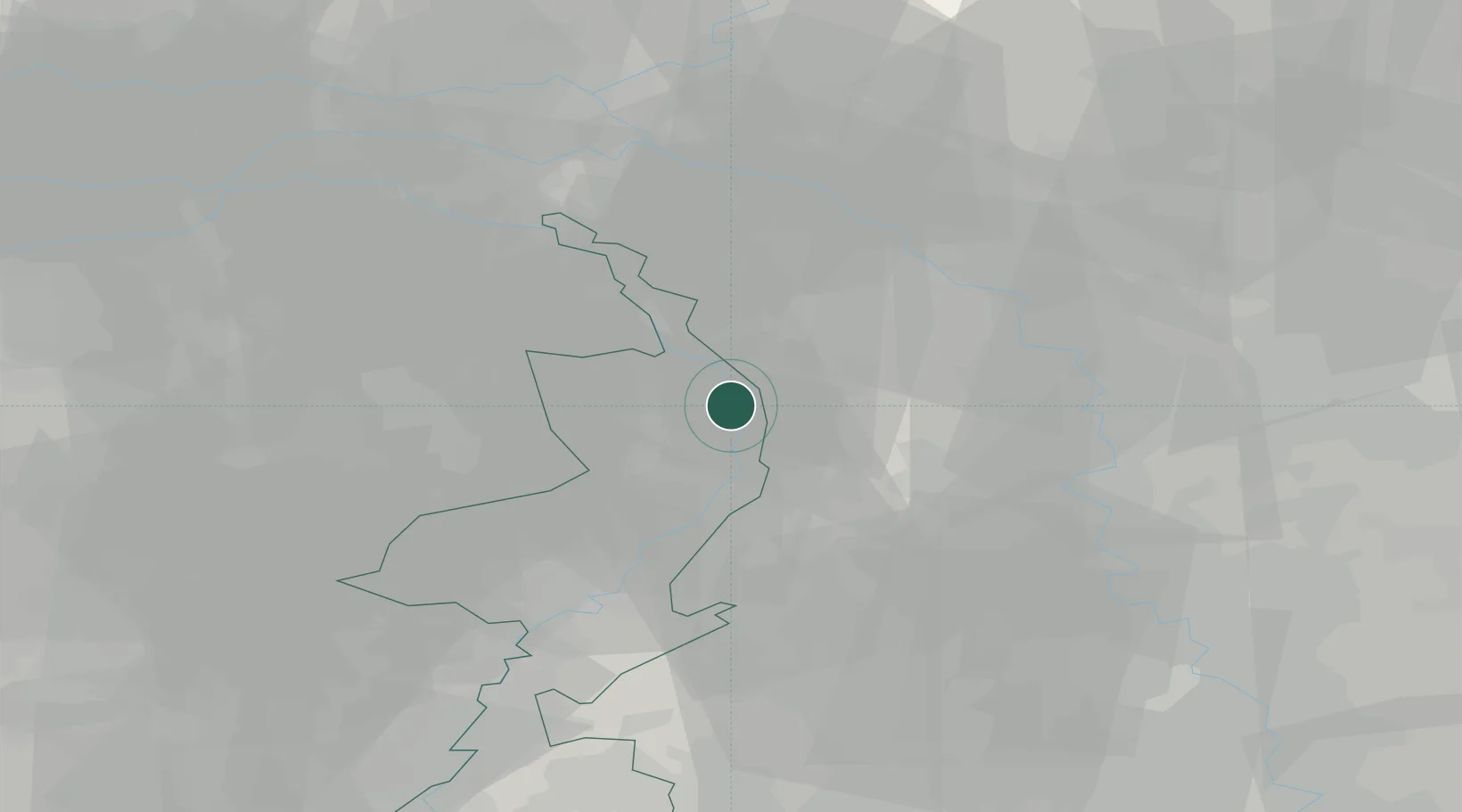
Broekhuizenvorst
51.4833°, 6.1500°
870
Population
1
Transport functions
Transport Functions
Multimodal
Hub Profile
Place type
Populated place
Region
Limburg
Population
870
Time zone
Europe/Amsterdam
Elevation
19 m
Location
Nearby Logistics Neighbours
Airports
- 1Weeze (Niederrhein) Airport13 km
- 2Volkel Air Base36 km
- 3Mönchengladbach Airport37 km
- 4Kempen Airport Budel46 km
- 5Düsseldorf Airport48 km
Trade Zones
- 1Freeport of Duisburg31 km
- 2Rheinische Revier SWZ66 km
- 3Luxembourg Free Port205 km
- 4Freeport of Emden218 km
- 5ZFU Ronde Couture218 km
DatabookThe Record of Consolidated Knowledge
Netherlands beyond logistics?