Medium airport · Netherlands
Kempen Airport BudelEHBD
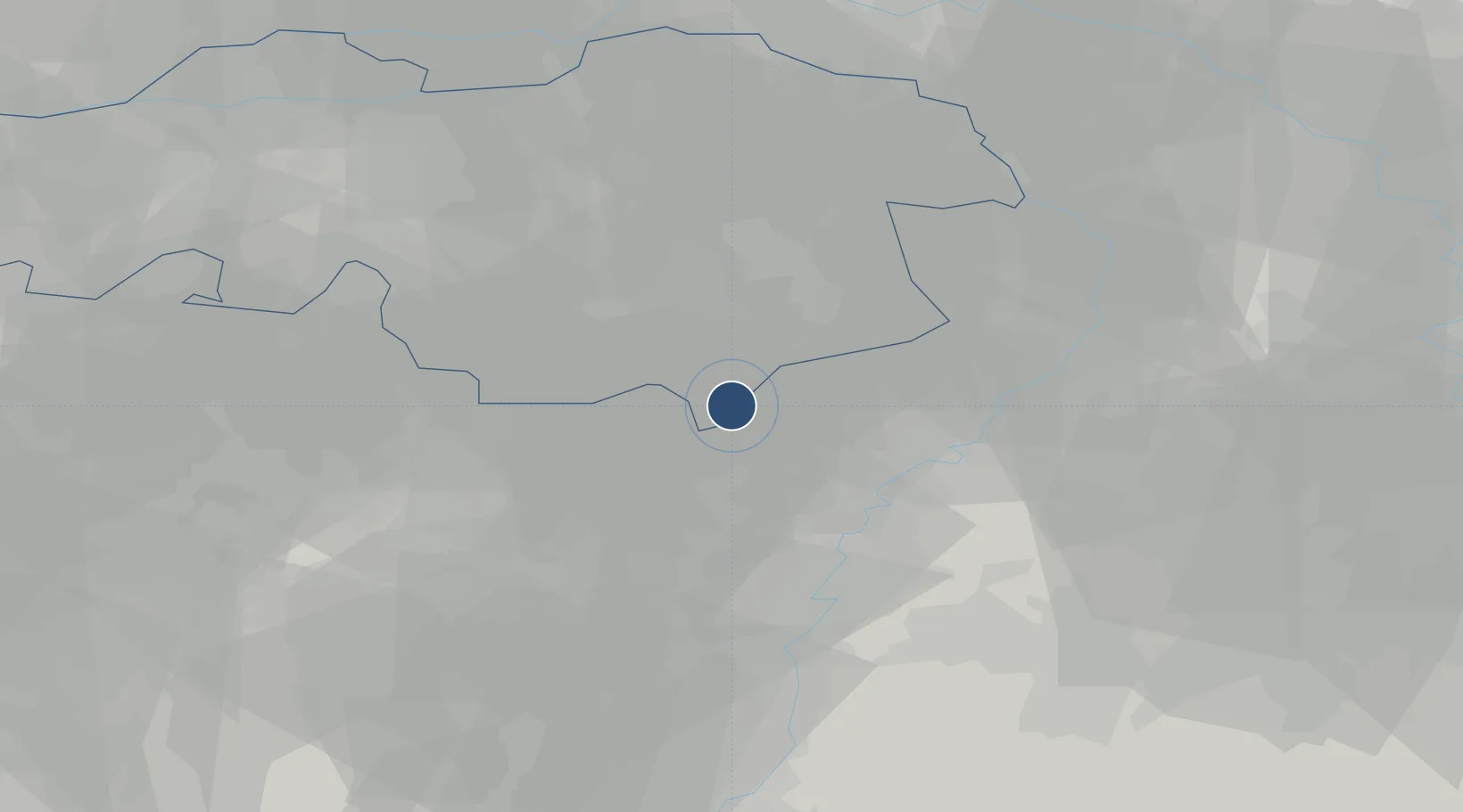
51.2553°, 5.6014°
3,934 ft
Longest runway
2
Runways
114 ft
Elevation
Runway & Layout

Radio Frequencies
AFIS
122.155 MHz
Budel Radio
FIS
132.35 MHz
Dutch MIL Info
Navaids
THN NDB Thorn 434 kHz
Runways · 2
| Runway | Dimensions | Surface | True heading | Lit |
|---|---|---|---|---|
| 03/21 | 3,934 × 75ft | Asphalt | 030° | ✓ |
| 03G/21G | 1,969 × 99ft | grass | 027° | — |
Airport Specifications
ICAO code
EHBD
Airport class
Medium airport
Scheduled service
No
Runway surface
Asphalt
Served city
Weert
Location
Nearby Logistics Neighbours
Airports
- 1Kleine Brogel Air Base13 km
- 2Eindhoven Airport27 km
- 3Maastricht Aachen Airport40 km
- 4Geilenkirchen Air Base45 km
- 5Volkel Air Base45 km
Cities
- 1Budel-Dorplain3 km
- 2Lozen7 km
- 3Achel8 km
- 4Sint-Huibrechts-Lille9 km
- 5Bocholt10 km
Trade Zones
- 1Rheinische Revier SWZ67 km
- 2Freeport of Duisburg72 km
- 3ZFU Maubeuge, Louvroil161 km
- 4ZFU Condé sur lEscaut167 km
- 5ZFU Ronde Couture179 km
DatabookThe Record of Consolidated Knowledge
Netherlands beyond logistics?