Transport Functions
Port
Rail
Road
Hub Profile
Place type
Urban district
Region
North Rhine-Westphalia
Time zone
Europe/Berlin
Elevation
27 m
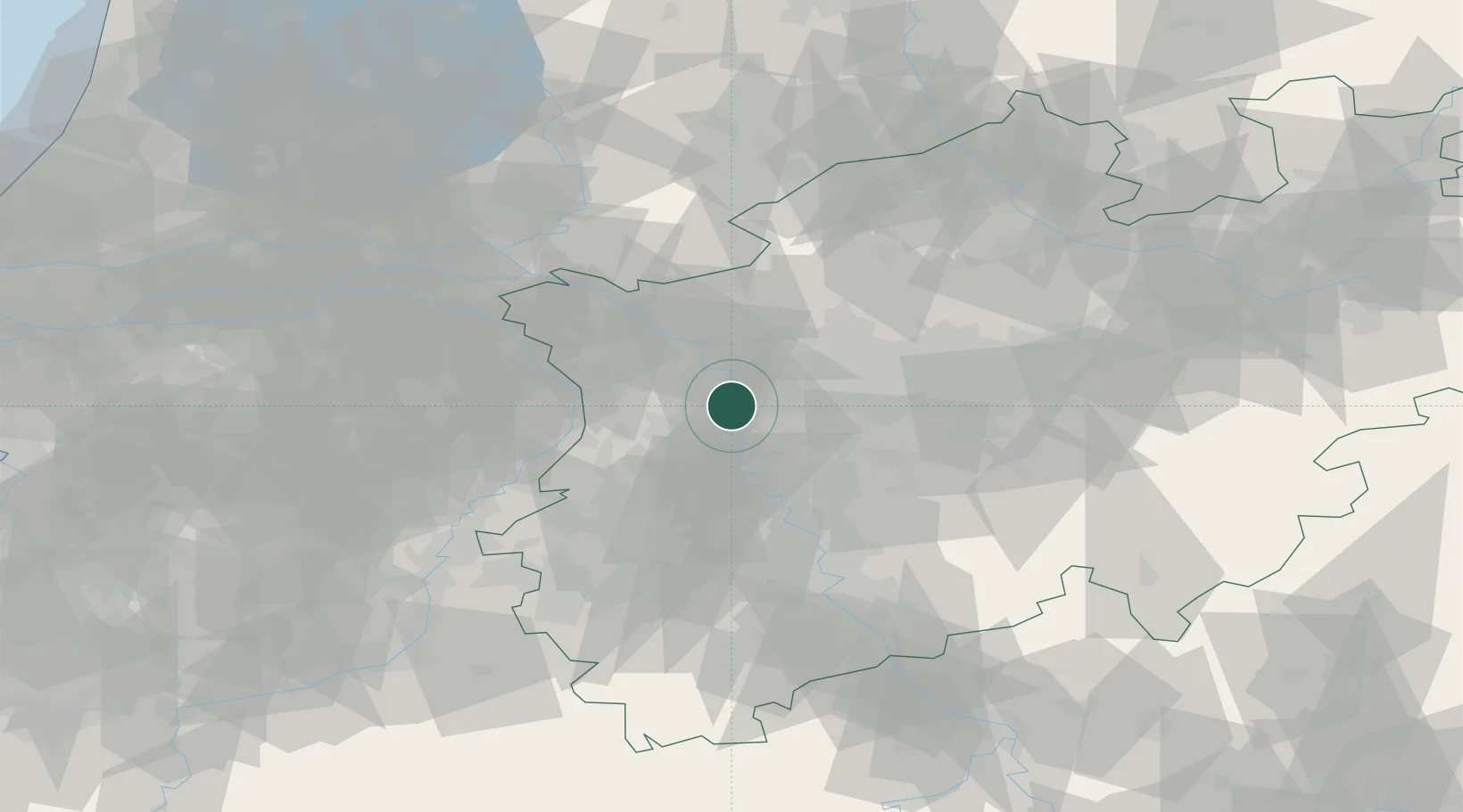
Location
Nearby Logistics Neighbours
Cities
- 1Moers2 km
- 2Vinn4 km
- 3Duisburg5 km
- 4Meiderich6 km
- 5Schwelgern7 km
Airports
- 1Düsseldorf Airport19 km
- 2Mönchengladbach Airport27 km
- 3Weeze (Niederrhein) Airport41 km
- 4Dortmund Airport65 km
- 5Nörvenich Air Base69 km
Trade Zones
- 1Freeport of Duisburg7 km
- 2Rheinische Revier SWZ64 km
- 3Luxembourg Free Port204 km
- 4Freeport of Emden212 km
- 5Freeport of Bremerhaven (Freihafen Bremerhaven)231 km
DatabookThe Record of Consolidated Knowledge
Germany beyond logistics?