Transport Functions
Port
Rail
Road
Hub Profile
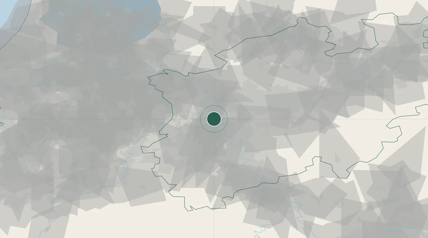
Place type
District seat
Region
North Rhine-Westphalia
Population
237,984
Time zone
Europe/Berlin
Elevation
43 m
Logistics facilities
1
Location
Nearby Logistics Neighbours
Cities
- 1Huckingen6 km
- 2Krefeld-Uerdingen7 km
- 3Duisburg10 km
- 4Vinn10 km
- 5Moers12 km
Airports
- 1Düsseldorf Airport10 km
- 2Mönchengladbach Airport17 km
- 3Weeze (Niederrhein) Airport46 km
- 4Nörvenich Air Base57 km
- 5Geilenkirchen Air Base61 km
Trade Zones
- 1Freeport of Duisburg12 km
- 2Rheinische Revier SWZ52 km
- 3Luxembourg Free Port192 km
- 4Freeport of Emden224 km
- 5ZFU Ronde Couture225 km
DatabookThe Record of Consolidated Knowledge
Germany beyond logistics?