UN/LOCODE hub · Germany
DEKDU

Krefeld-Uerdingen

51.3333°, 6.5667°
1
Transport functions

Transport Functions

Multimodal
UN/LOCODE

Hub Profile

Region
NW
GeoNames

Location

Location of DEKDU
Natural Earth 10m (public domain) · NW · DEKDU · 51.33, 6.57GoogleOSMYandex

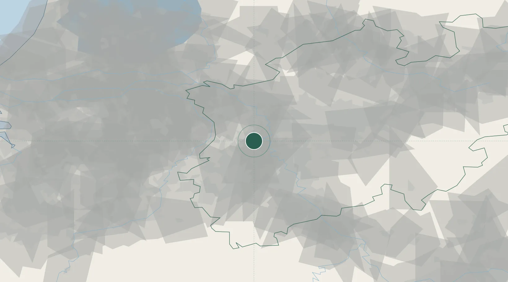
Nearby Logistics Neighbours

Cities
  1. 1Krefeld7 km
  2. 2Willich8 km
  3. 3Kempen11 km
  4. 4Neukirchen-Vluyn11 km
  5. 5Vinn12 km
Nearest neighbours — logibook spatial index (haversine) over the source coordinates
Ports
  1. 1Dordrecht143 km
  2. 2Antwerpen151 km
  3. 3Rotterdam157 km
  4. 4Amsterdam162 km
  5. 5Schiedam162 km
Nearest neighbours — logibook spatial index (haversine) over the source coordinates
Airports
  1. 1Mönchengladbach Airport12 km
  2. 2Düsseldorf Airport15 km
  3. 3Weeze (Niederrhein) Airport42 km
  4. 4Geilenkirchen Air Base55 km
  5. 5Nörvenich Air Base56 km
Nearest neighbours — logibook spatial index (haversine) over the source coordinates
Trade Zones
  1. 1Freeport of Duisburg13 km
  2. 2Rheinische Revier SWZ49 km
  3. 3Luxembourg Free Port190 km
  4. 4ZFU Ronde Couture220 km
  5. 5Freeport of Emden227 km
Nearest neighbours — logibook spatial index (haversine) over the source coordinates
DatabookThe Record of Consolidated Knowledge
Germany beyond logistics?
Browse databook

All Sources

LocationsUN/LOCODE
UN/LOCODE — free
Portsthe NGA World Port Index
Public domain (US gov)
AirportsOurAirports
Public domain
Trade Zonesthe World Bank SEZ database
CC BY 4.0
Trade ZonesOpen Zone Map
CC BY
← Germany locations