Transport Functions
Port
Road
Hub Profile
Place type
Locality
Region
North Rhine-Westphalia
Time zone
Europe/Berlin
Elevation
30 m
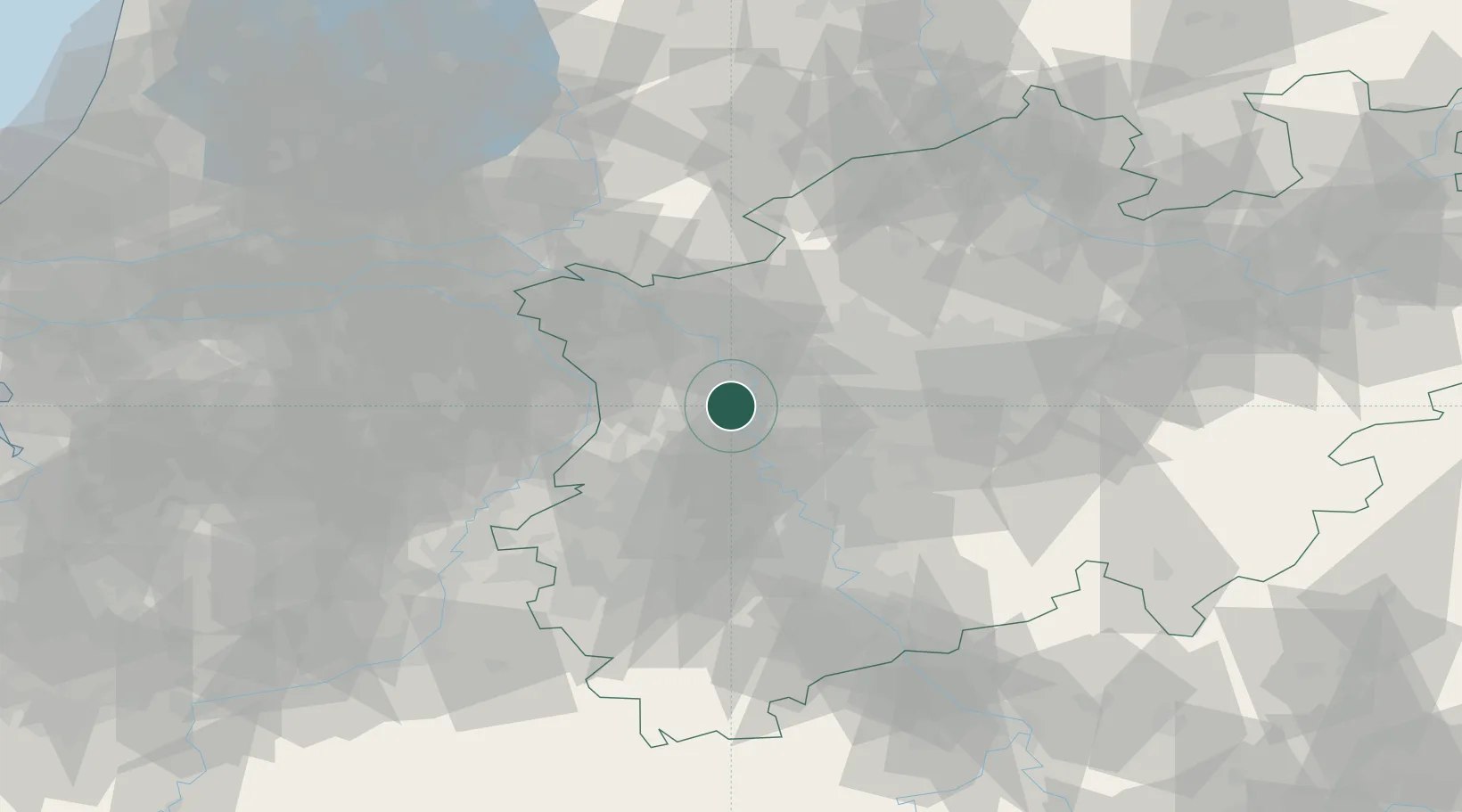
Location
Nearby Logistics Neighbours
Cities
- 1Moers2 km
- 2Homberg4 km
- 3Neukirchen-Vluyn5 km
- 4Duisburg8 km
- 5Orsoy10 km
Airports
- 1Düsseldorf Airport19 km
- 2Mönchengladbach Airport24 km
- 3Weeze (Niederrhein) Airport39 km
- 4Geilenkirchen Air Base67 km
- 5Nörvenich Air Base67 km
Trade Zones
- 1Freeport of Duisburg4 km
- 2Rheinische Revier SWZ61 km
- 3Luxembourg Free Port202 km
- 4Freeport of Emden215 km
- 5ZFU Ronde Couture231 km
DatabookThe Record of Consolidated Knowledge
Germany beyond logistics?