Transport Functions
Rail
Road
Hub Profile
Place type
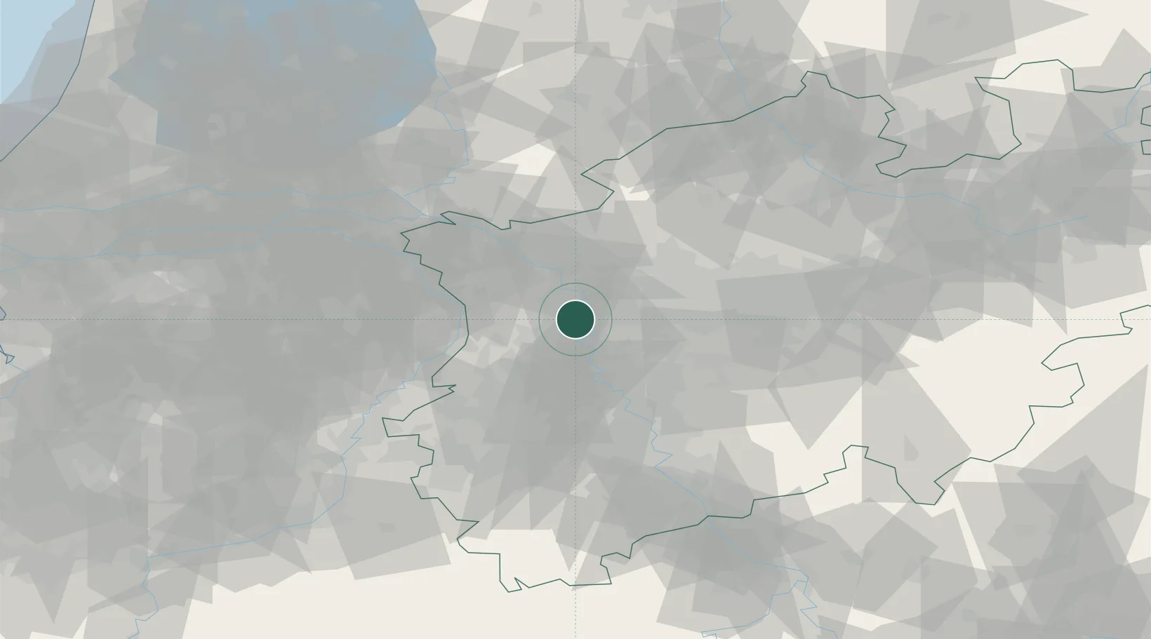
Populated place
Region
North Rhine-Westphalia
Population
103,487
Time zone
Europe/Berlin
Elevation
29 m
Location
Nearby Logistics Neighbours
Cities
- 1Vinn2 km
- 2Homberg2 km
- 3Neukirchen-Vluyn6 km
- 4Duisburg7 km
- 5Orsoy8 km
Airports
- 1Düsseldorf Airport20 km
- 2Mönchengladbach Airport26 km
- 3Weeze (Niederrhein) Airport39 km
- 4Dortmund Airport67 km
- 5Nörvenich Air Base69 km
Trade Zones
- 1Freeport of Duisburg4 km
- 2Rheinische Revier SWZ63 km
- 3Luxembourg Free Port204 km
- 4Freeport of Emden213 km
- 5Freeport of Bremerhaven (Freihafen Bremerhaven)233 km
DatabookThe Record of Consolidated Knowledge
Germany beyond logistics?