Medium airport · Germany
Geilenkirchen Air BaseETNG
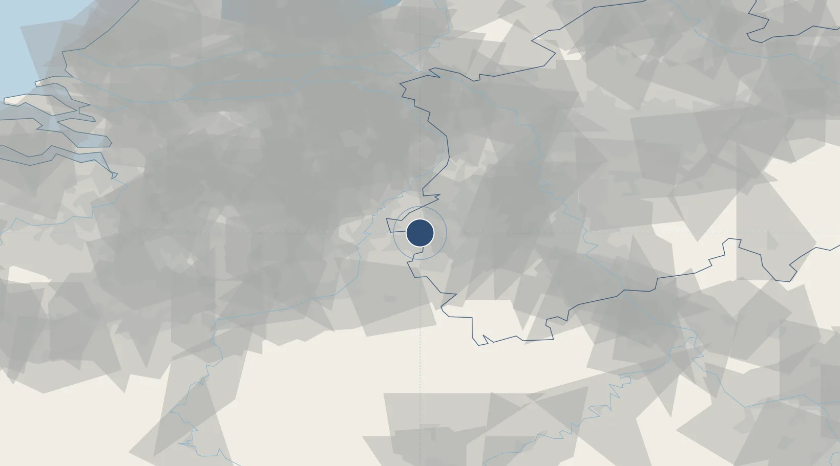
50.9608°, 6.0424°
10,009 ft
Longest runway
1
Runways
296 ft
Elevation
Runway & Layout

Radio Frequencies
ATIS
27.82 MHz
TWR
122.1 MHz
FRISBEE TWR
POST
139.875 MHz
MAGIC COMD POST
RDR
38.54 MHz
FRISBEE RADAR
RDR
123.3 MHz
FRISBEE RADAR
RDR
128.5 MHz
LANGEN CON
Navaids
GIX TACAN Geilenkirchen 108.10 MHz
Runways · 1
| Runway | Dimensions | Surface | True heading | Lit |
|---|---|---|---|---|
| 09/27 | 10,009 × 147ft | Concrete | 091° | ✓ |
Airport Specifications
IATA code
GKE
ICAO code
ETNG
Airport class
Medium airport
Scheduled service
No
Runway surface
Concrete
Served city
Geilenkirchen
Location
Nearby Logistics Neighbours
Airports
- 1Maastricht Aachen Airport20 km
- 2Mönchengladbach Airport44 km
- 3Kempen Airport Budel45 km
- 4Nörvenich Air Base46 km
- 5Kleine Brogel Air Base46 km
Cities
- 1Übach-Palenberg6 km
- 2Eygelshoven7 km
- 3Amstenrade8 km
- 4Baesweiler12 km
- 5Alsdorf12 km
Trade Zones
- 1Rheinische Revier SWZ24 km
- 2Freeport of Duisburg66 km
- 3Luxembourg Free Port148 km
- 4ZFU Ronde Couture165 km
- 5ZFU Woippy-Metz201 km
DatabookThe Record of Consolidated Knowledge
Germany beyond logistics?