Transport Functions
Port
Road
Hub Profile
Region
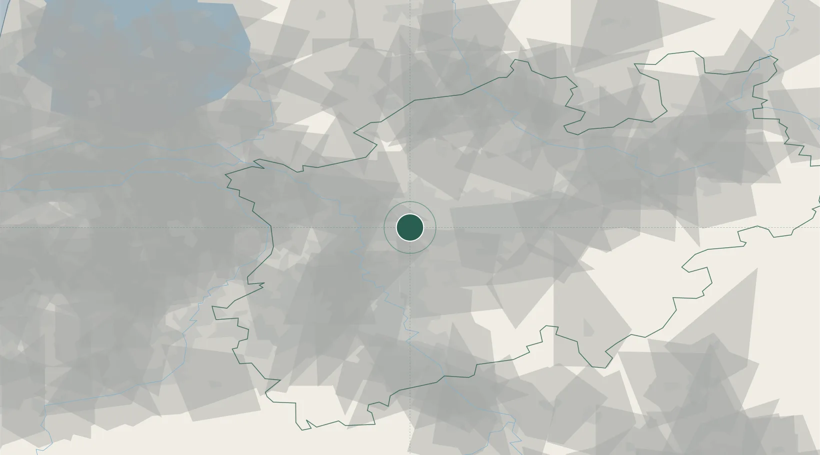
NW
Location
Nearby Logistics Neighbours
Cities
- 1Gladbeck8 km
- 2Beckhausen8 km
- 3Gelsenkirchen8 km
- 4Mülheim an der Ruhr11 km
- 5Oberhausen11 km
Airports
- 1Düsseldorf Airport29 km
- 2Dortmund Airport42 km
- 3Mönchengladbach Airport46 km
- 4Weeze (Niederrhein) Airport60 km
- 5Cologne Bonn Airport71 km
Trade Zones
- 1Freeport of Duisburg29 km
- 2Rheinische Revier SWZ79 km
- 3Freeport of Emden205 km
- 4Luxembourg Free Port214 km
- 5Freeport of Bremerhaven (Freihafen Bremerhaven)214 km
DatabookThe Record of Consolidated Knowledge
Germany beyond logistics?