Channel & Berth Profile
Pilotage, Tugs & Services
Pilotage availableYES
Pilotage advisableYES
Tug assistanceYES
Potable waterYES
Diesel bunkersYES
MedicalYES
Garbage disposalYES
Facilities & Capabilities
Container—
Ro-Ro—
Liquid bulk—
Dry bulk—
Oil terminal—
Break bulk—
Dry dockNO
RepairsNO
BunkeringYES
Rail linkYES
Dangerous cargo—
ISPS security—
Harbour Specifications
Harbour size
Small
Harbour type
Canal or Lake
Shelter
Good
Water body
North Sea; North Atlantic Ocean
Tidal range
3 m
Overhead limit
Yes
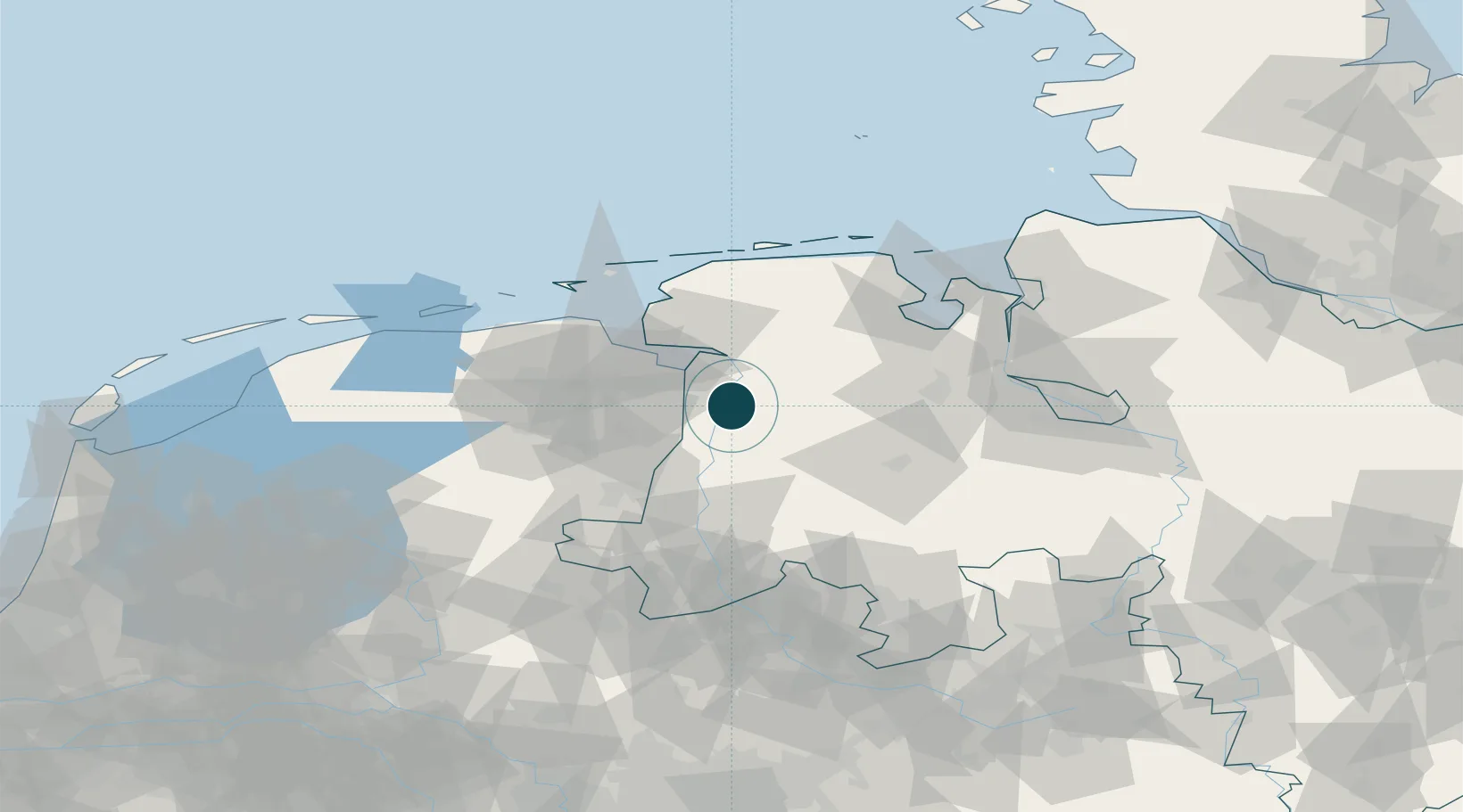
Location
Nearby Logistics Neighbours
Cities
- 1Weener8 km
- 2Herbrum9 km
- 3Börgemoor12 km
- 4Heede (Emsland)14 km
- 5Nieuweschans15 km
Airports
- 1Emden Airport34 km
- 2Wittmundhafen Air Base53 km
- 3Groningen Airport Eelde54 km
- 4Norden-Norddeich Airport61 km
- 5Juist Airport68 km
Trade Zones
DatabookThe Record of Consolidated Knowledge
Germany beyond logistics?