Transport Functions
Rail
Road
Hub Profile
Place type
Urban district
Region
North Rhine-Westphalia
Time zone
Europe/Berlin
Elevation
41 m
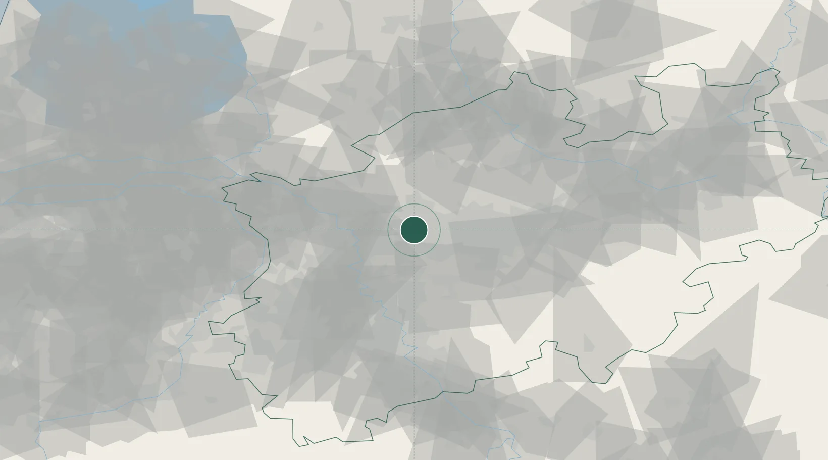
Location
Nearby Logistics Neighbours
Cities
- 1Gladbeck4 km
- 2Neuessen8 km
- 3Kirchhellen8 km
- 4Herten8 km
- 5Gelsenkirchen8 km
Airports
- 1Düsseldorf Airport36 km
- 2Dortmund Airport40 km
- 3Mönchengladbach Airport52 km
- 4Weeze (Niederrhein) Airport62 km
- 5Münster Osnabrück Airport78 km
Trade Zones
- 1Freeport of Duisburg34 km
- 2Rheinische Revier SWZ86 km
- 3Freeport of Emden197 km
- 4Freeport of Bremerhaven (Freihafen Bremerhaven)207 km
- 5Luxembourg Free Port222 km
DatabookThe Record of Consolidated Knowledge
Germany beyond logistics?