Transport Functions
Port
Rail
Road
Postal
Hub Profile
Place type
District seat
Region
North Rhine-Westphalia
Population
219,176
Time zone
Europe/Berlin
Elevation
44 m
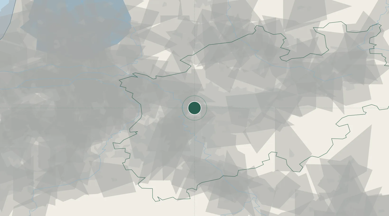
Location
Nearby Logistics Neighbours
Cities
- 1Mülheim an der Ruhr4 km
- 2Meiderich6 km
- 3Schwelgern9 km
- 4Duisburg9 km
- 5Neuessen11 km
Airports
- 1Düsseldorf Airport21 km
- 2Mönchengladbach Airport36 km
- 3Weeze (Niederrhein) Airport51 km
- 4Dortmund Airport53 km
- 5Cologne Bonn Airport70 km
Trade Zones
- 1Freeport of Duisburg18 km
- 2Rheinische Revier SWZ70 km
- 3Luxembourg Free Port208 km
- 4Freeport of Emden209 km
- 5Freeport of Bremerhaven (Freihafen Bremerhaven)223 km
DatabookThe Record of Consolidated Knowledge
Germany beyond logistics?