Large airport · Germany
Dortmund AirportEDLW
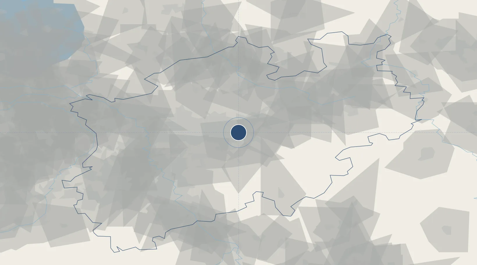
51.5183°, 7.6122°
6,562 ft
Longest runway
1
Runways
425 ft
Elevation
Runway & Layout

Radio Frequencies
ATIS
125.13 MHz
Dortmund AtIS
TWR
134.18 MHz
DOrtmund Tower / Turm
GND
121.83 MHz
Dortmund Ground / Rollkontrolle
APP
125.225 MHz
LANGEN RADAR
AFIS
129.875 MHz
Langen Information
Navaids
DOM VOR-DME Dortmund 112.70 MHz
DOR VOR-DME Wickede 108.65 MHz
DWI NDB Dortmund 357 kHz
Runways · 1
| Runway | Dimensions | Surface | True heading | Lit |
|---|---|---|---|---|
| 06/24 | 6,562 × 148ft | Asphalt | 061° | ✓ |
Airport Specifications
IATA code
DTM
ICAO code
EDLW
Airport class
Large airport
Scheduled service
Yes
Runway surface
Asphalt
Served city
Dortmund
Location
Nearby Logistics Neighbours
Airports
- 1Düsseldorf Airport64 km
- 2Münster Osnabrück Airport69 km
- 3Paderborn Lippstadt Airport70 km
- 4Cologne Bonn Airport80 km
- 5Bielefeld Airport81 km
Cities
- 1Dortmund10 km
- 2Fröndenberg11 km
- 3Rünthe13 km
- 4Letmathe17 km
- 5Groppenbruch18 km
Trade Zones
- 1Freeport of Duisburg71 km
- 2Rheinische Revier SWZ109 km
- 3Freeport of Bremerhaven (Freihafen Bremerhaven)192 km
- 4Freeport of Emden204 km
- 5Luxembourg Free Port231 km
DatabookThe Record of Consolidated Knowledge
Germany beyond logistics?