Transport Functions
Rail
Road
Hub Profile
Place type
Populated place
Region
North Rhine-Westphalia
Population
76,940
Time zone
Europe/Berlin
Elevation
60 m
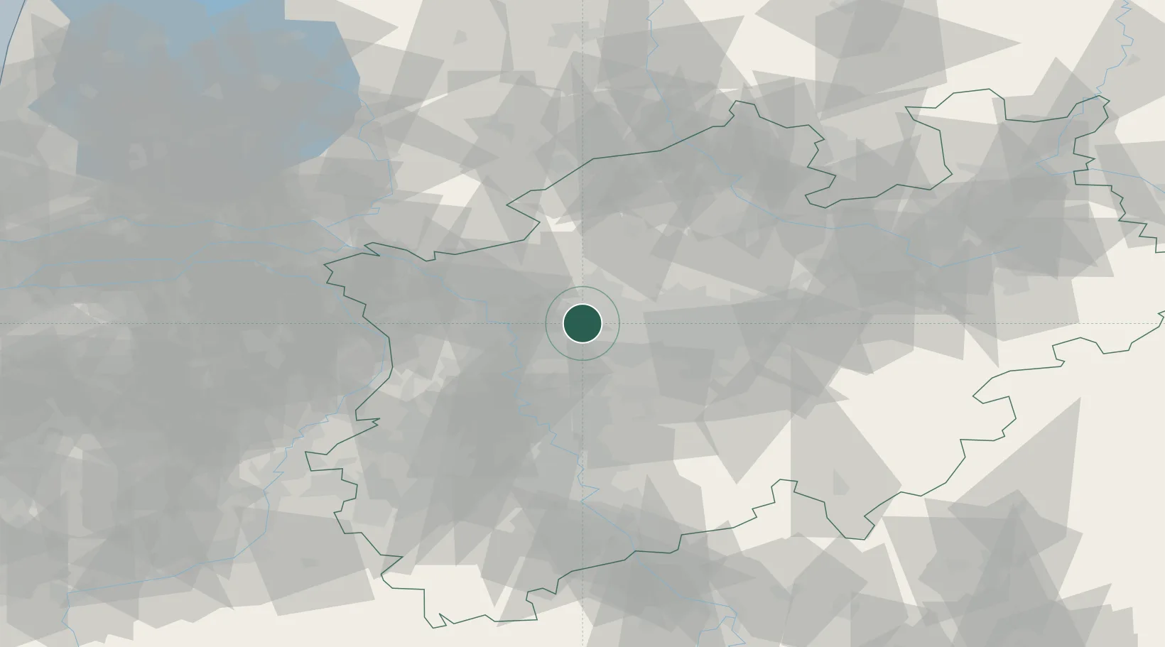
Location
Nearby Logistics Neighbours
Cities
- 1Beckhausen4 km
- 2Kirchhellen5 km
- 3Neuessen8 km
- 4Gelsenkirchen11 km
- 5Herten11 km
Airports
- 1Düsseldorf Airport34 km
- 2Dortmund Airport44 km
- 3Mönchengladbach Airport50 km
- 4Weeze (Niederrhein) Airport58 km
- 5Cologne Bonn Airport79 km
Trade Zones
- 1Freeport of Duisburg31 km
- 2Rheinische Revier SWZ84 km
- 3Freeport of Emden197 km
- 4Freeport of Bremerhaven (Freihafen Bremerhaven)209 km
- 5Luxembourg Free Port221 km
DatabookThe Record of Consolidated Knowledge
Germany beyond logistics?