Large airport · Germany
Cologne Bonn AirportEDDK
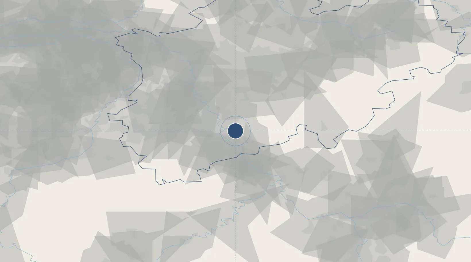
50.8659°, 7.1427°
12,516 ft
Longest runway
3
Runways
302 ft
Elevation
Runway & Layout

Radio Frequencies
ATIS
132.13 MHz
Koeln/Bonn ATIS
ATIS
132.13 MHz
TWR
124.98 MHz
Koeln/Bonn Tower / Turm
GND
121.73 MHz
Koeln/Bonn Ground / Rollkontrolle
CLD
121.855 MHz
Koeln/Bonn Delivery
AFIS
129.875 MHz
Langen Information
DIR
121.05 MHz
MISC
121.95 MHz
APRON
POST
136.25 MHz
MIL
RDR
118.75 MHz
LANGEN RADAR
VOLMET
127.41 MHz
Bremen VOLMET
Navaids
COL VORTAC Cola 108.80 MHz
KBO VOR-DME Koln/Bonn 112.15 MHz
LJ NDB Koln/Bonn 365 kHz
LV NDB Koln/Bonn 327 kHz
LW NDB Koln/Bonn 301 kHz
Runways · 3
| Runway | Dimensions | Surface | True heading | Lit |
|---|---|---|---|---|
| 13L/31R | 12,516 × 197ft | Asphalt | 138° | ✓ |
| 06/24 | 8,067 × 148ft | Concrete | 064° | ✓ |
| 13R/31L | 6,112 × 148ft | Asphalt | 138° | ✓ |
Airport Specifications
IATA code
CGN
ICAO code
EDDK
Airport class
Large airport
Scheduled service
Yes
Runway surface
Asphalt
Served city
Köln (Cologne)
Location
Nearby Logistics Neighbours
Airports
- 1Nörvenich Air Base34 km
- 2Düsseldorf Airport54 km
- 3Mönchengladbach Airport60 km
- 4Siegerland Airport68 km
- 5Büchel Air Base77 km
Cities
- 1Friedrich-Wilhelmshutte7 km
- 2Niederkassel9 km
- 3Mondorf11 km
- 4Sankt Augustin11 km
- 5Lülsdorf12 km
Trade Zones
- 1Rheinische Revier SWZ54 km
- 2Freeport of Duisburg75 km
- 3Luxembourg Free Port151 km
- 4ZFU La Cité Behren-lès-Forbach190 km
- 5ZFU Woippy-Metz204 km
DatabookThe Record of Consolidated Knowledge
Germany beyond logistics?