Transport Functions
Port
Rail
Road
Hub Profile
Region
NW
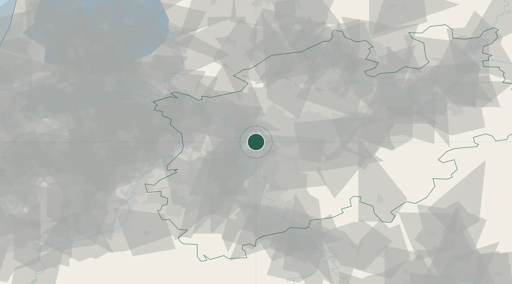
Location
Nearby Logistics Neighbours
Cities
- 1Oberhausen4 km
- 2Meiderich9 km
- 3Duisburg10 km
- 4Neuessen11 km
- 5Lintorf Ratingen12 km
Airports
- 1Düsseldorf Airport18 km
- 2Mönchengladbach Airport35 km
- 3Dortmund Airport51 km
- 4Weeze (Niederrhein) Airport55 km
- 5Cologne Bonn Airport66 km
Trade Zones
- 1Freeport of Duisburg21 km
- 2Rheinische Revier SWZ68 km
- 3Luxembourg Free Port205 km
- 4Freeport of Emden213 km
- 5Freeport of Bremerhaven (Freihafen Bremerhaven)225 km
DatabookThe Record of Consolidated Knowledge
Germany beyond logistics?