Transport Functions
Port
Rail
Road
Hub Profile
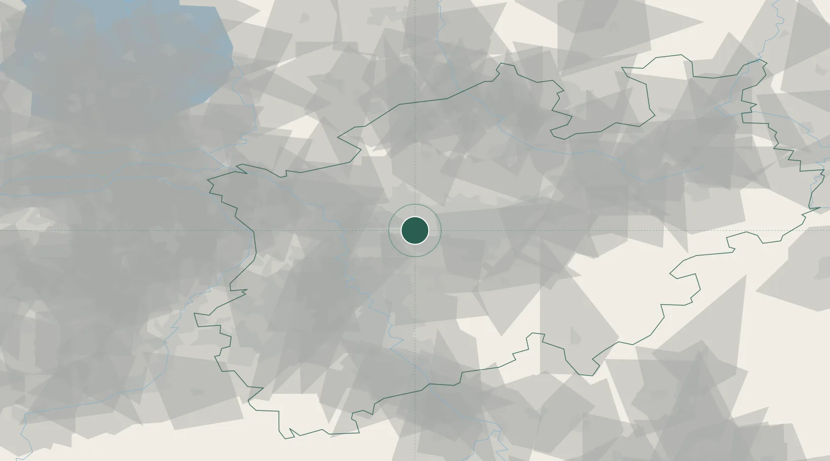
Place type
District seat
Region
North Rhine-Westphalia
Population
270,028
Time zone
Europe/Berlin
Elevation
48 m
Location
Nearby Logistics Neighbours
Cities
- 1Wanne-Eickel4 km
- 2Herne8 km
- 3Beckhausen8 km
- 4Neuessen8 km
- 5Herten9 km
Airports
- 1Dortmund Airport34 km
- 2Düsseldorf Airport35 km
- 3Mönchengladbach Airport53 km
- 4Weeze (Niederrhein) Airport68 km
- 5Cologne Bonn Airport72 km
Trade Zones
- 1Freeport of Duisburg37 km
- 2Rheinische Revier SWZ85 km
- 3Freeport of Emden202 km
- 4Freeport of Bremerhaven (Freihafen Bremerhaven)208 km
- 5Luxembourg Free Port218 km
DatabookThe Record of Consolidated Knowledge
Germany beyond logistics?