Transport Functions
Port
Rail
Road
Airport
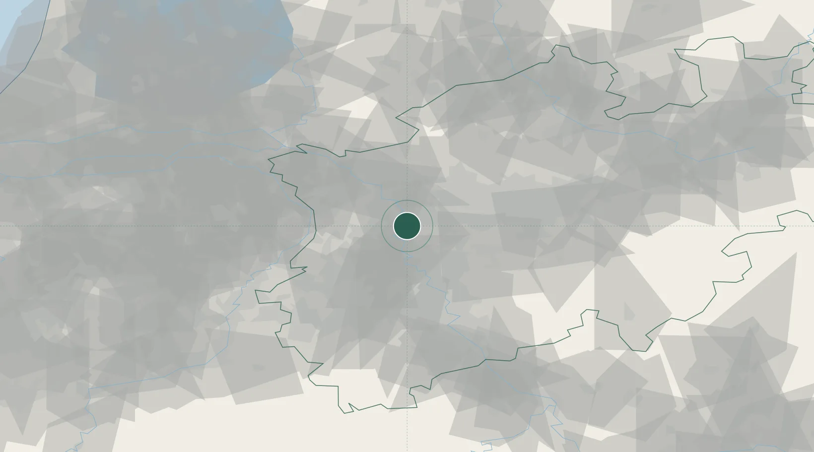
Hub Profile
Place type
District seat
Region
North Rhine-Westphalia
Population
504,358
Time zone
Europe/Berlin
Elevation
38 m
Logistics facilities
10
Location
Nearby Logistics Neighbours
Airports
- 1Düsseldorf Airport14 km
- 2Mönchengladbach Airport27 km
- 3Weeze (Niederrhein) Airport46 km
- 4Dortmund Airport62 km
- 5Nörvenich Air Base65 km
Trade Zones
- 1Freeport of Duisburg11 km
- 2Rheinische Revier SWZ62 km
- 3Luxembourg Free Port201 km
- 4Freeport of Emden215 km
- 5Freeport of Bremerhaven (Freihafen Bremerhaven)232 km
DatabookThe Record of Consolidated Knowledge
Germany beyond logistics?