Transport Functions
Rail
Road
Multimodal
Hub Profile
Region
NW
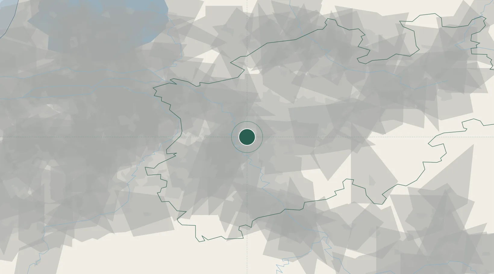
Location
Nearby Logistics Neighbours
Cities
- 1Huckingen6 km
- 2Grafenberg/Düsseldorf11 km
- 3Duisburg11 km
- 4Mülheim an der Ruhr12 km
- 5Krefeld12 km
Airports
- 1Düsseldorf Airport7 km
- 2Mönchengladbach Airport26 km
- 3Cologne Bonn Airport56 km
- 4Weeze (Niederrhein) Airport57 km
- 5Nörvenich Air Base57 km
Trade Zones
- 1Freeport of Duisburg21 km
- 2Rheinische Revier SWZ57 km
- 3Luxembourg Free Port193 km
- 4Freeport of Emden224 km
- 5ZFU Ronde Couture231 km
DatabookThe Record of Consolidated Knowledge
Germany beyond logistics?