Transport Functions
Port
Rail
Road
Hub Profile
Place type
Urban district
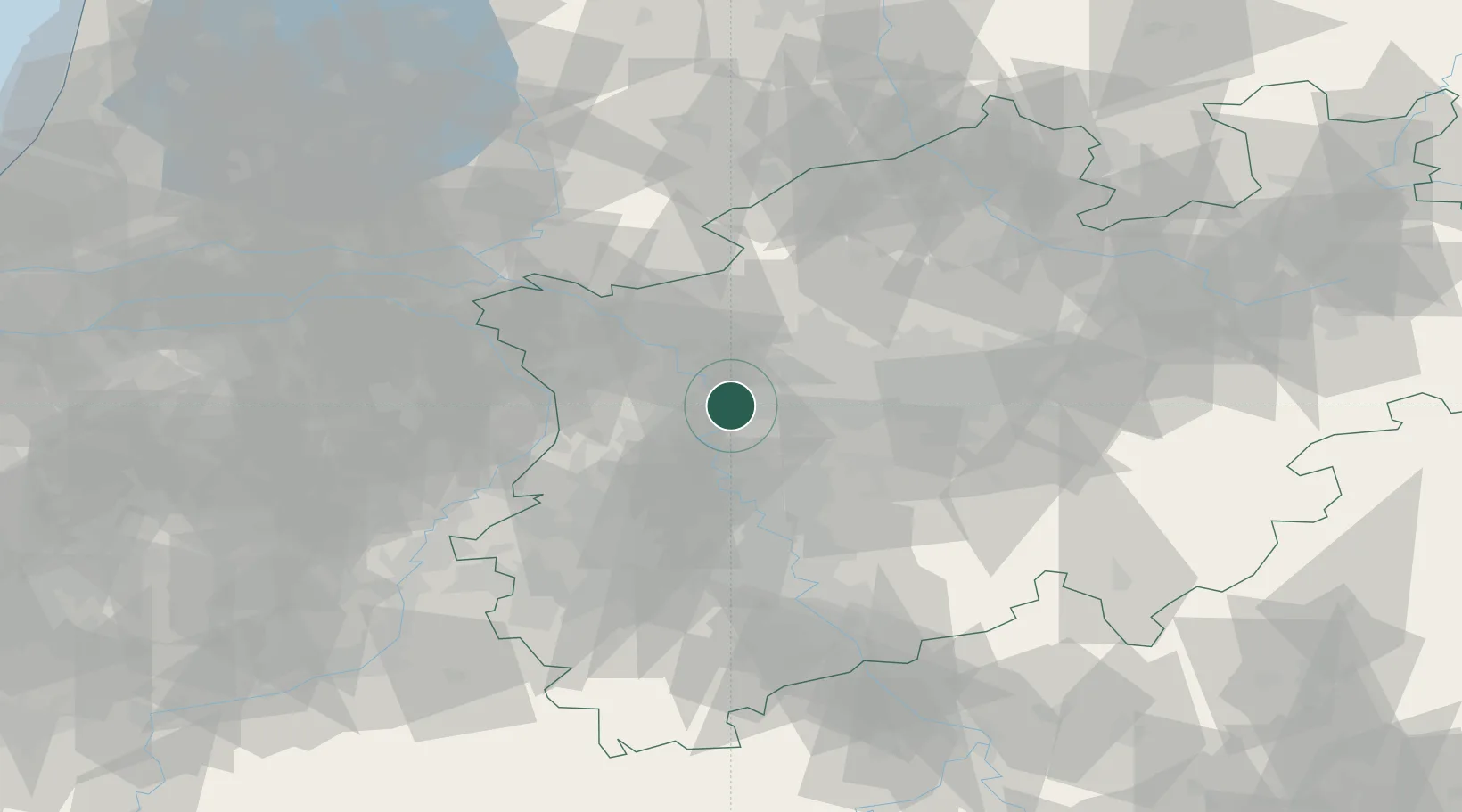
Region
North Rhine-Westphalia
Population
45,297
Time zone
Europe/Berlin
Elevation
30 m
Location
Nearby Logistics Neighbours
Cities
- 1Schwelgern4 km
- 2Oberhausen6 km
- 3Duisburg6 km
- 4Homberg6 km
- 5Orsoy8 km
Airports
- 1Düsseldorf Airport20 km
- 2Mönchengladbach Airport32 km
- 3Weeze (Niederrhein) Airport46 km
- 4Dortmund Airport59 km
- 5Nörvenich Air Base71 km
Trade Zones
- 1Freeport of Duisburg13 km
- 2Rheinische Revier SWZ68 km
- 3Luxembourg Free Port207 km
- 4Freeport of Emden210 km
- 5Freeport of Bremerhaven (Freihafen Bremerhaven)227 km
DatabookThe Record of Consolidated Knowledge
Germany beyond logistics?