Transport Functions
Rail
Road
Airport
Hub Profile
Place type
Local administrative seat
Region
North Rhine-Westphalia
Population
16,016
Time zone
Europe/Berlin
Elevation
38 m
Logistics facilities
1
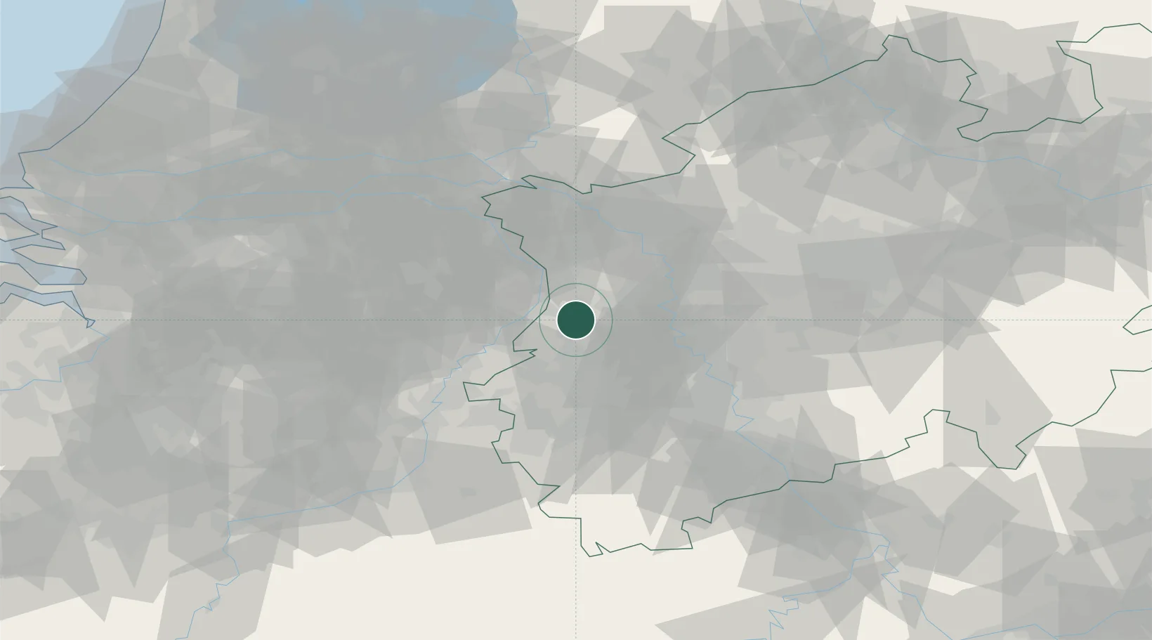
Location
Nearby Logistics Neighbours
Cities
- 1Dülken6 km
- 2Kempen10 km
- 3Brüggen11 km
- 4Blerick13 km
- 5Mönchengladbach14 km
Airports
- 1Mönchengladbach Airport15 km
- 2Düsseldorf Airport31 km
- 3Weeze (Niederrhein) Airport36 km
- 4Geilenkirchen Air Base42 km
- 5Kempen Airport Budel50 km
Trade Zones
- 1Freeport of Duisburg25 km
- 2Rheinische Revier SWZ44 km
- 3Luxembourg Free Port185 km
- 4ZFU Ronde Couture206 km
- 5Freeport of Emden234 km
DatabookThe Record of Consolidated Knowledge
Germany beyond logistics?