UN/LOCODE hub · Germany
DEDKN

Dülken

51.2500°, 6.3500°
2
Transport functions

Transport Functions

Rail
Road
UN/LOCODE

Hub Profile

Region
NW
GeoNames

Location

Location of DEDKN
Natural Earth 10m (public domain) · NW · DEDKN · 51.25, 6.35GoogleOSMYandex

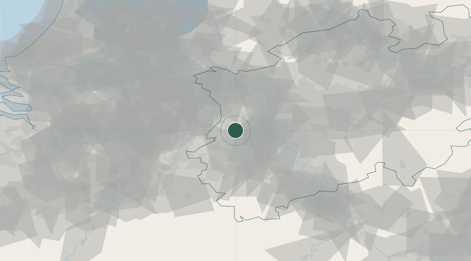
Nearby Logistics Neighbours

Cities
  1. 1Grefrath6 km
  2. 2Mönchengladbach8 km
  3. 3Brüggen12 km
  4. 4Kempen14 km
  5. 5Wickrath14 km
Nearest neighbours — logibook spatial index (haversine) over the source coordinates
Ports
  1. 1Dordrecht133 km
  2. 2Antwerpen136 km
  3. 3Bruxelles146 km
  4. 4Rotterdam148 km
  5. 5Schiedam153 km
Nearest neighbours — logibook spatial index (haversine) over the source coordinates
Airports
  1. 1Mönchengladbach Airport11 km
  2. 2Düsseldorf Airport29 km
  3. 3Geilenkirchen Air Base39 km
  4. 4Weeze (Niederrhein) Airport42 km
  5. 5Nörvenich Air Base51 km
Nearest neighbours — logibook spatial index (haversine) over the source coordinates
Trade Zones
  1. 1Freeport of Duisburg27 km
  2. 2Rheinische Revier SWZ38 km
  3. 3Luxembourg Free Port179 km
  4. 4ZFU Ronde Couture203 km
  5. 5ZFU Woippy-Metz234 km
Nearest neighbours — logibook spatial index (haversine) over the source coordinates
DatabookThe Record of Consolidated Knowledge
Germany beyond logistics?
Browse databook

All Sources

LocationsUN/LOCODE
UN/LOCODE — free
Portsthe NGA World Port Index
Public domain (US gov)
AirportsOurAirports
Public domain
Trade Zonesthe World Bank SEZ database
CC BY 4.0
Trade ZonesOpen Zone Map
CC BY
← Germany locations