Transport Functions
Rail
Road
Hub Profile
Place type
Populated place
Region
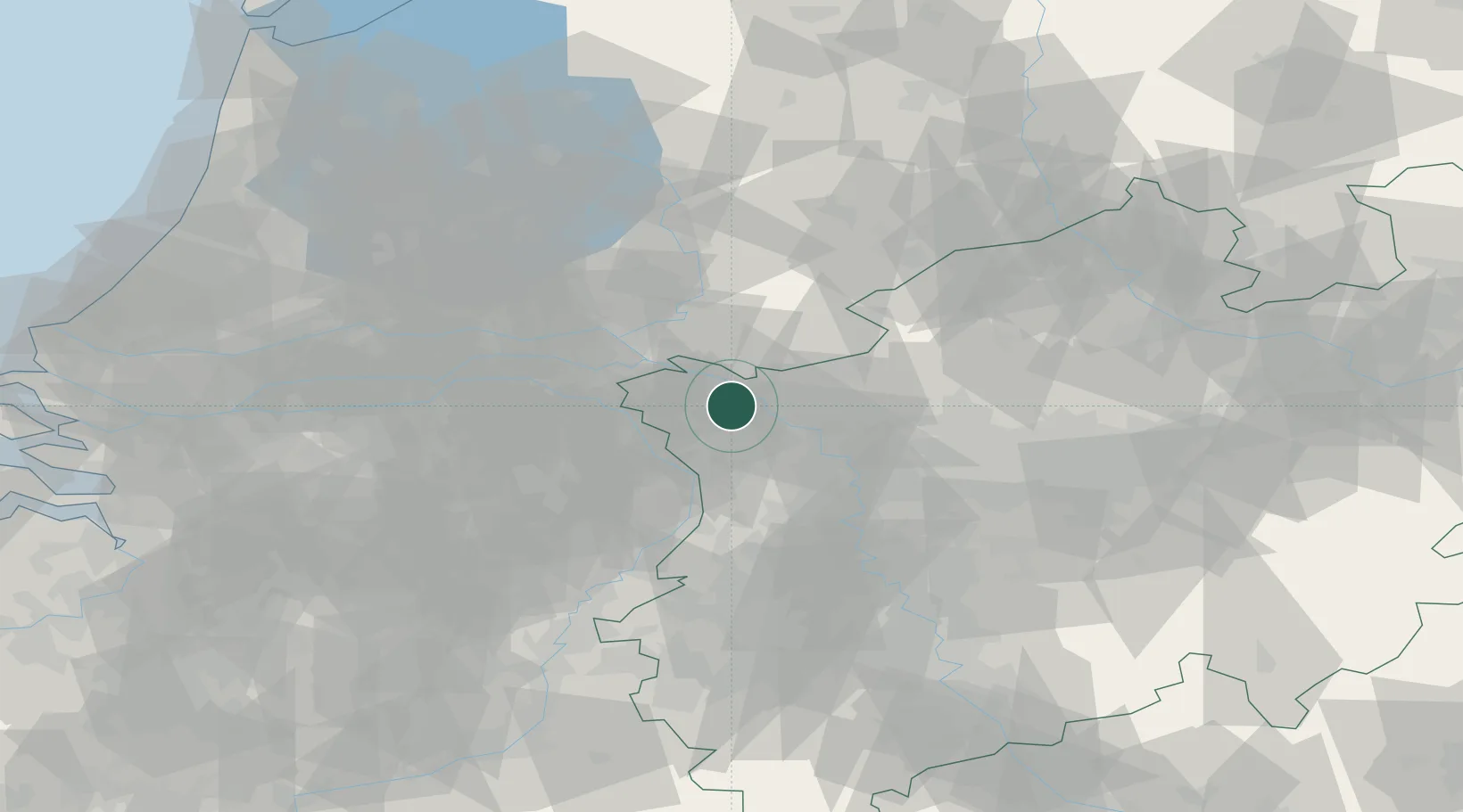
North Rhine-Westphalia
Population
13,944
Time zone
Europe/Berlin
Elevation
19 m
Location
Nearby Logistics Neighbours
Airports
- 1Weeze (Niederrhein) Airport18 km
- 2Volkel Air Base42 km
- 3Deelen Air Base47 km
- 4Mönchengladbach Airport58 km
- 5Düsseldorf Airport59 km
Trade Zones
- 1Freeport of Duisburg38 km
- 2Rheinische Revier SWZ92 km
- 3Freeport of Emden188 km
- 4Freeport of Bremerhaven (Freihafen Bremerhaven)226 km
- 5Luxembourg Free Port233 km
DatabookThe Record of Consolidated Knowledge
Germany beyond logistics?