Transport Functions
Rail
Road
Hub Profile
Place type
District seat
Region
North Rhine-Westphalia
Population
49,072
Time zone
Europe/Berlin
Elevation
29 m
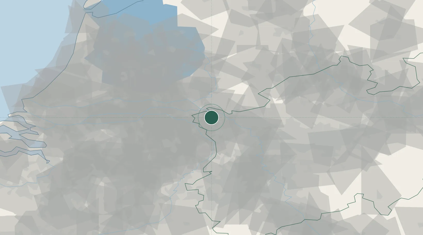
Location
Nearby Logistics Neighbours
Airports
- 1Weeze (Niederrhein) Airport20 km
- 2Volkel Air Base34 km
- 3Deelen Air Base36 km
- 4Eindhoven Airport65 km
- 5Mönchengladbach Airport66 km
Trade Zones
- 1Freeport of Duisburg48 km
- 2Rheinische Revier SWZ99 km
- 3Freeport of Emden186 km
- 4Freeport of Bremerhaven (Freihafen Bremerhaven)230 km
- 5Luxembourg Free Port239 km
DatabookThe Record of Consolidated Knowledge
Germany beyond logistics?