Transport Functions
Rail
Road
Hub Profile
Place type
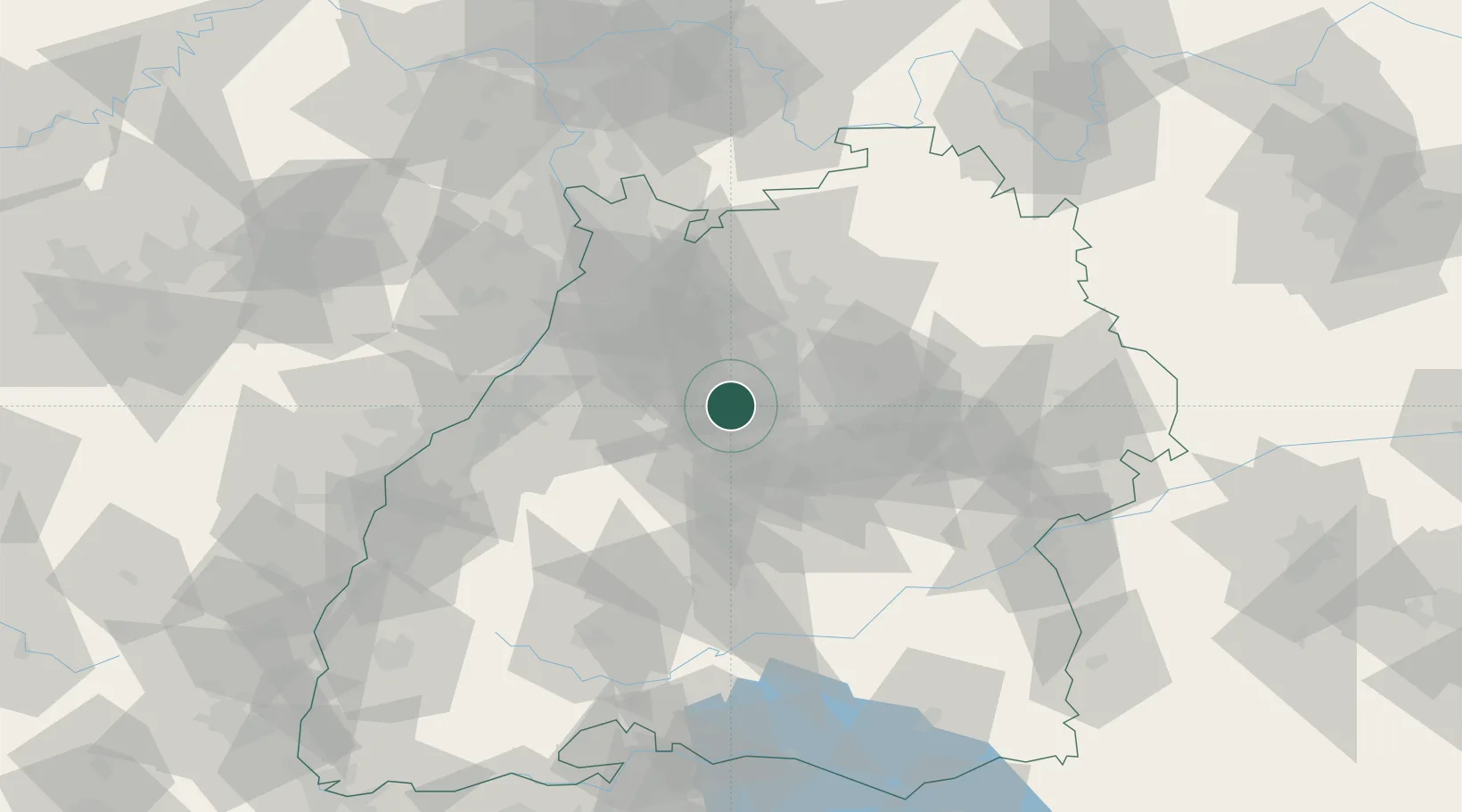
Populated place
Region
Baden-Wurttemberg
Time zone
Europe/Berlin
Elevation
399 m
Location
Nearby Logistics Neighbours
Cities
- 1Markgröningen9 km
- 2Heimsheim9 km
- 3Illingen12 km
- 4Möglingen13 km
- 5Sachsenheim13 km
Ports
- 1Bruxelles400 km
- 2Antwerpen419 km
- 3Dordrecht450 km
- 4Hansweert457 km
- 5Porto Di Lido-Venezia463 km
Airports
- 1Stuttgart Airport26 km
- 2Karlsruhe Baden-Baden Airport65 km
- 3Adolf Würth Airport67 km
- 4Mannheim-City Airport77 km
- 5Mengen-Hohentengen Airfield94 km
Trade Zones
- 1ZFU Neuhof95 km
- 2ZFU Hautepierre98 km
- 3ZFU La Cité Behren-lès-Forbach153 km
- 4ZFU Mulhouse172 km
- 5ZFU Maxéville, Laxou, et de Nancy206 km
DatabookThe Record of Consolidated Knowledge
Germany beyond logistics?