UN/LOCODE hub · Germany
DEILG

Illingen

48.9500°, 8.9167°
7,205
Population
2
Transport functions

Transport Functions

Rail
Road
UN/LOCODE

Hub Profile

Place type
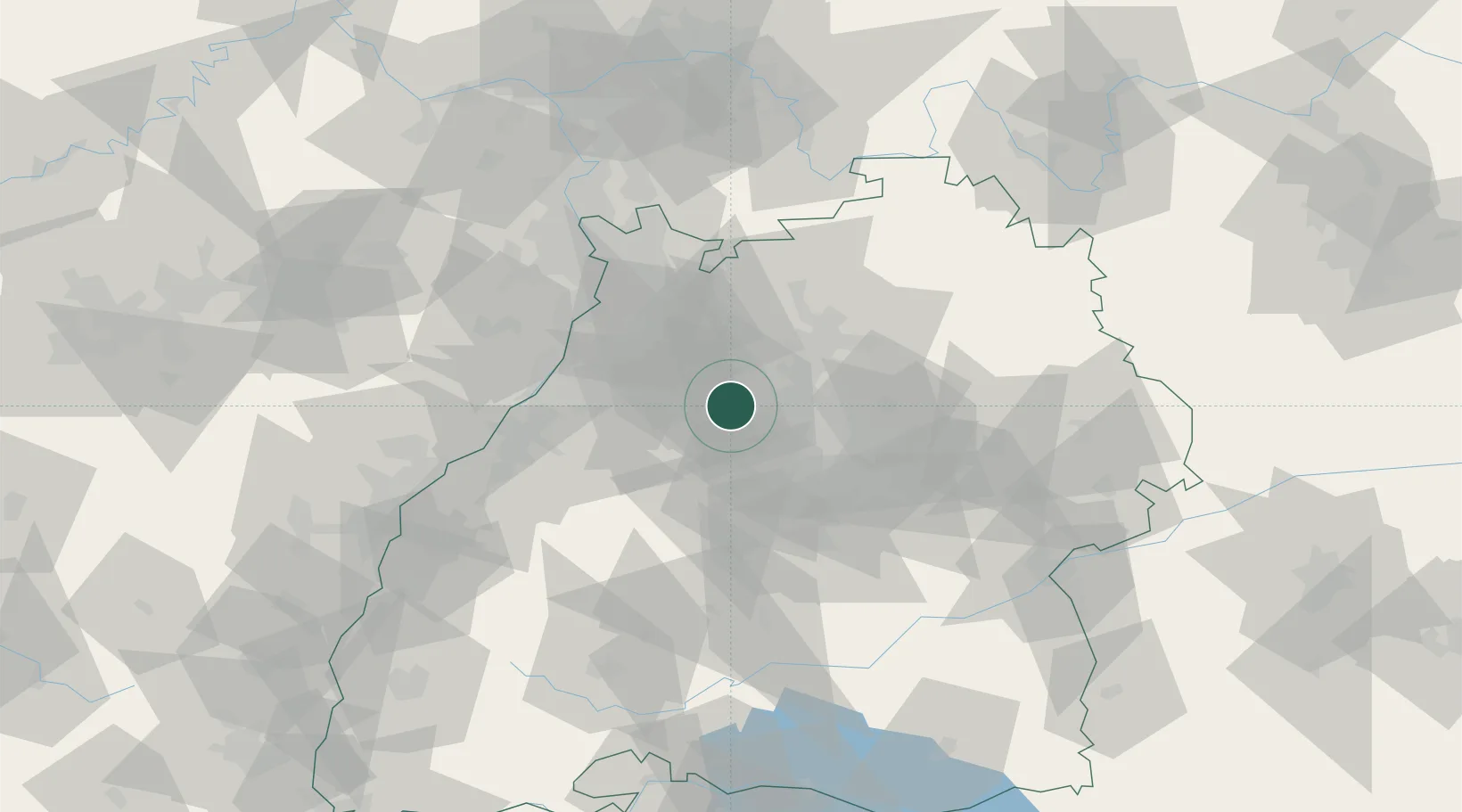
Local administrative seat
GeoNames
Region
Baden-Wurttemberg
GeoNames
Population
7,205
GeoNames
Time zone
Europe/Berlin
GeoNames
Elevation
231 m
GeoNames

Location

Location of DEILG
Natural Earth 10m (public domain) · Baden-Wurttemberg · DEILG · 48.95, 8.92GoogleOSMYandex

Nearby Logistics Neighbours

Cities
  1. 1Ötisheim8 km
  2. 2Sachsenheim11 km
  3. 3Heimerdingen12 km
  4. 4Markgröningen12 km
  5. 5Ölbronn-Dürrn12 km
Nearest neighbours — logibook spatial index (haversine) over the source coordinates
Ports
  1. 1Bruxelles390 km
  2. 2Antwerpen409 km
  3. 3Dordrecht439 km
  4. 4Hansweert447 km
  5. 5Rotterdam454 km
Nearest neighbours — logibook spatial index (haversine) over the source coordinates
Airports
  1. 1Stuttgart Airport37 km
  2. 2Karlsruhe Baden-Baden Airport64 km
  3. 3Mannheim-City Airport65 km
  4. 4Adolf Würth Airport66 km
  5. 5Niederstetten Army Air Base90 km
Nearest neighbours — logibook spatial index (haversine) over the source coordinates
Trade Zones
  1. 1ZFU Neuhof96 km
  2. 2ZFU Hautepierre98 km
  3. 3ZFU La Cité Behren-lès-Forbach147 km
  4. 4ZFU Mulhouse177 km
  5. 5ZFU Metz202 km
Nearest neighbours — logibook spatial index (haversine) over the source coordinates
DatabookThe Record of Consolidated Knowledge
Germany beyond logistics?
Browse databook

All Sources

LocationsUN/LOCODE
UN/LOCODE — free
LocationsGeoNames
CC BY 4.0
Portsthe NGA World Port Index
Public domain (US gov)
AirportsOurAirports
Public domain
Trade Zonesthe World Bank SEZ database
CC BY 4.0
Trade ZonesOpen Zone Map
CC BY
← Germany locations