Economic Revitalization Project · France

ZFU Hautepierre Active
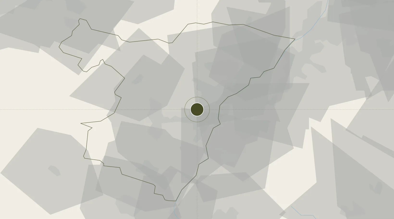
48.5946°, 7.6923°
107 ha
Zone area
348.6 km
Nearest port
7.8 km
Nearest airport

Gateway access

Nearest neighbours — logibook spatial index (haversine) over the source coordinates

Zone profile

Zone type
Economic Revitalization Project
Open Zone Map
Region
Bas-Rhin
Open Zone Map
Status
Active
Open Zone Map
Management
Public
Open Zone Map
Operator
Ville de Strasbourg
Open Zone Map
Legal framework
Décret no 65-939 du 8 novembre 1965, Décret du 9 Octobre 2008
Open Zone Map

Location

Location of ozm-1951
Natural Earth 10m (public domain) · Bas-Rhin · ozm-1951 · 48.59, 7.69GoogleOSMYandex

Nearby Logistics Neighbours

Ports
  1. 1Bruxelles349 km
  2. 2Antwerpen375 km
  3. 3Ghent395 km
  4. 4Hansweert413 km
  5. 5Terneuzen413 km
Nearest neighbours — logibook spatial index (haversine) over the source coordinates
Airports
  1. 1Strasbourg Airport8 km
  2. 2Lahr Airport27 km
  3. 3Karlsruhe Baden-Baden Airport35 km
  4. 4Phalsbourg-Bourscheid Air Base41 km
  5. 5Colmar Houssen airport59 km
Nearest neighbours — logibook spatial index (haversine) over the source coordinates
Cities
  1. 1Eckbolsheim1 km
  2. 2Wolfisheim2 km
  3. 3Cronenbourg4 km
  4. 4Mundolsheim4 km
  5. 5Bischheim5 km
Nearest neighbours — logibook spatial index (haversine) over the source coordinates
Trade Zones
  1. 1ZFU Neuhof8 km
  2. 2ZFU La Cité Behren-lès-Forbach85 km
  3. 3ZFU Mulhouse98 km
  4. 4ZFU Maxéville, Laxou, et de Nancy113 km
  5. 5ZFU Belfort124 km
Nearest neighbours — logibook spatial index (haversine) over the source coordinates
DatabookThe Record of Consolidated Knowledge
France beyond logistics?
Browse databook

All Sources

Trade ZonesOpen Zone Map
CC BY
Portsthe NGA World Port Index
Public domain (US gov)
AirportsOurAirports
Public domain
LocationsUN/LOCODE
UN/LOCODE — free
← France trade zones