Medium airport · Germany
Adolf Würth AirportEDTY
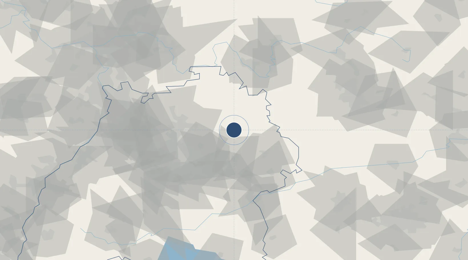
49.1183°, 9.7839°
5,053 ft
Longest runway
2
Runways
1,299 ft
Elevation
Runway & Layout

Radio Frequencies
ATIS
133.88 MHz
Schwaebisch Hall ATIS
AFIS
129.23 MHz
Schwaebisch Hall Information
INFO
128.95 MHz
Langen Information
RDR
125.05 MHz
LANGEN RADAR
Navaids
SHD DME Schwabisch 108.05 MHz
Runways · 2
| Runway | Dimensions | Surface | True heading | Lit |
|---|---|---|---|---|
| 10/28 | 5,053 × 98ft | Concrete | 099° | ✓ |
| 10L/28R | 2,460 × 98ft | Grass | 099° | — |
Airport Specifications
ICAO code
EDTY
Airport class
Medium airport
Scheduled service
No
Runway surface
Concrete
Served city
Schwäbisch Hall
Location
Nearby Logistics Neighbours
Airports
- 1Niederstetten Army Air Base33 km
- 2Stuttgart Airport63 km
- 3Mannheim-City Airport100 km
- 4Laupheim Air Base100 km
- 5Nuremberg Airport103 km
Cities
- 1Bühlerzimmern4 km
- 2Schwäbisch Hall4 km
- 3Ilshofen11 km
- 4Eckartshausen11 km
- 5Waldenburg13 km
Ports
- 1Bruxelles434 km
- 2Antwerpen449 km
- 3Nogaro452 km
- 4Bremen452 km
- 5Porto Di Lido-Venezia458 km
Trade Zones
- 1ZFU Neuhof161 km
- 2ZFU Hautepierre164 km
- 3ZFU La Cité Behren-lès-Forbach208 km
- 4ZFU Mulhouse236 km
- 5ZFU Metz264 km
DatabookThe Record of Consolidated Knowledge
Germany beyond logistics?