Transport Functions
Rail
Road
Hub Profile
Place type
Local administrative seat
Region
Baden-Wurttemberg
Population
18,594
Time zone
Europe/Berlin
Elevation
246 m
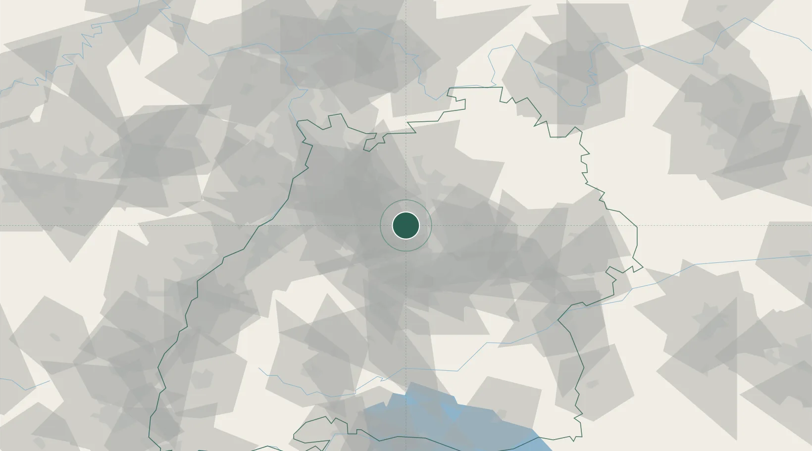
Location
Nearby Logistics Neighbours
Cities
- 1Markgröningen6 km
- 2Möglingen9 km
- 3Bönnigheim10 km
- 4Walheim10 km
- 5Freiberg am Neckar10 km
Airports
- 1Stuttgart Airport31 km
- 2Adolf Würth Airport56 km
- 3Mannheim-City Airport71 km
- 4Karlsruhe Baden-Baden Airport75 km
- 5Niederstetten Army Air Base81 km
Trade Zones
- 1ZFU Neuhof106 km
- 2ZFU Hautepierre108 km
- 3ZFU La Cité Behren-lès-Forbach158 km
- 4ZFU Mulhouse185 km
- 5ZFU Metz213 km
DatabookThe Record of Consolidated Knowledge
Germany beyond logistics?